Kenley, Inkerman Grove, Wolverhampton, WV10 0EU
About Kenley
Kenley is a semi-detached house in Wolverhampton (WV10 0EU). It has a recorded floor area of 174 m² (around 1873 sq ft), construction records dating it to 1930-1949 and council tax band A. The latest certificate (March 2014) shows a D (score 62), on the cusp of jumping into the C band. When first surveyed in January 2012 the rating was E, the property has climbed 1 band since. Between certificates, wall efficiency went from Very Poor to Poor and window efficiency went from Poor to Average; while lighting dropped from Good to Very Poor. The recommended improvements would lift it to B (score 82), a 2-band jump. The latest certificate is from March 2014, so improvements made since then won't be reflected.
At 174 m² the property is well over the postcode median (80 m² across 23 EPCs), placing it in the larger end of the local stock. Across 2007–2012, sale prices on this property compounded at -3.3% per year. Today's modelled estimate of £189,000 sits 122.4% above the 2012 sale of £85,000. On a £-per-square-foot basis, the last sale (£45/sq ft) was about 47.8% below the postcode norm. One planning record on file: an extension approved in 2012. Past consents include an extension, meaningful when judging how the property has evolved. 14 years since the last transfer (September 2012).
Everything you need to know about Kenley
The true value, the hidden risks and the full sale history, in one report.
Pick your report · every report is £14.99
One time fee only - money back guarantee

The data behind every report


Energy performance
Kenley's carbon output runs well above what efficient homes in the postcode produce.
EPC Expired
This certificate is over 10 years old and is no longer valid.Expired 13 Mar 2024
EPC Rating
Property Improvements
Changes detected from historical EPC data
Heating controls upgraded for better temperature management
Windows upgraded, improving insulation
Wall insulation improved
Low energy lighting percentage decreased
Get a survey for this property
Level 2 HomeBuyer Report
We've checked 10 risk factors against the available data for this property and believe a Level 2 HomeBuyer Report could be a suitable option for you.
From £495 · Includes VAT
Planning history
1 application on record at Kenley, Inkerman Grove, Wolverhampton, WV10 0EU
- Dec 2012ExtensionFullOutcome in report
Extension: Side and rear of property
Two storey side extension, two storey and single storey rear extension
- Documents
- 2 docs on file
- Reference
- 12/01167/FUL
Unlock Kenley, Inkerman Grove, Wolverhampton, WV10 0EU's full planning history
You're seeing the shape of it. The report has the substance.
- Every decision — granted, refused or withdrawn (1 on record)
- All 1 application on this property in full, plus 4 notable nearby
- The 2 documents, officer reports & conditions
- What the pattern means for extending or converting here
One time fee only - money back guarantee
Sales history & valuation
Kenley valuation sits well clear of the typical sold price in this postcode.
£189,000
Modelled from EPC, postcode comparables and a sale-price growth of -3.3% per year over 5 years.
£85,000
Growth on file: -3.3% per year over 5 years.
Sales timeline
18 September 2012Most recent
£85,000
-15.0%over 4 years9 November 2007
£100,000
Median price across the last 5 sales in WV10 0EU: £125,000 (2025–2023).
Nearby sales in WV10 0EU
Miridene, Inkerman Grove, Wolverhampton, WV10 0EU
Sold Sept 2025
£135,000Belmont, Inkerman Grove, Wolverhampton, WV10 0EU
Sold Sept 2024
£117,000Glenhurst, Inkerman Grove, Wolverhampton, WV10 0EU
Sold Jul 2024
£100,000Mahdeen, Inkerman Grove, Wolverhampton, WV10 0EU
Sold Feb 2023
£168,000Granville, Inkerman Grove, Wolverhampton, WV10 0EU
Sold Aug 2021
£160,000
Versus other Inkerman Grove homes
Kenley outperforms the street on floor area by a wide margin.
Price per m²
£489
Street avg £1,247
Floor Area
174 m²
Street avg 85 m²
Habitable Rooms
7 rooms
Street avg 5 rooms
CO₂ Emissions
7.0 t/year
Street avg 4.4 t/year
Everything you need to know about Kenley
The true value, the hidden risks and the full sale history, in one report.
Pick your report · every report is £14.99
One time fee only - money back guarantee
The data behind every report
Similar properties nearby
The neighbourhood at a glance
Rail-style transport is unusually close for this postcode.
Crime
6/mo
Steady year-on-year across the wider district.
Nearest stop
0.8 km
Wolverhampton Rail Station — railway station.
Closest school
0.4 km
Eastfield Primary School. 39 schools nearby.
Go deeper on the local area
A Local Area report breaks down crime, transport links, schools and air quality in depth.
Road noise across the postcode
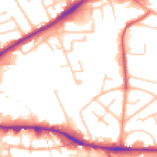
Daytime· 07:00 – 23:00
53.1dB

Night-time· 23:00 – 07:00
43.6dB