36 Bakewell Gardens, Wolverhampton, WV10 0DF
About 36 Bakewell Gardens
36 Bakewell Gardens is a semi-detached house in Wolverhampton (WV10 0DF). It has a recorded floor area of 65 m² (around 700 sq ft). The latest certificate (March 2021) returns a B (score 84), comfortably above the UK average. The recommended improvements would push it to A (score 97).
Today's modelled estimate of £184,000 sits 66% above the 2020 sale of £110,870. Most recent transfer: November 2020 at £110,870.
Everything you need to know about 36 Bakewell Gardens
The true value, the hidden risks and the full sale history, in one report.
Pick your report · every report is £14.99
One time fee only - money back guarantee

The data behind every report


Energy performance
36 Bakewell Gardens's carbon output is low for the local stock.
EPC Rating
Get a survey for this property
Level 2 HomeBuyer Report
We've checked 10 risk factors against the available data for this property and believe a Level 2 HomeBuyer Report could be a suitable option for you.
From £495 · Includes VAT
Planning history
36 Bakewell Gardens has no planning applications on record.
But the area is active
4 notable applications nearby — larger schemes and conversions that could reshape the street. The report maps them all.
Sales history & valuation
The latest sale landed in the post-pandemic price surge — useful context when reading the figure.
£184,000
Modelled from EPC, postcode comparables.
£110,870
Recorded with HM Land Registry.
Sales timeline
12 November 2020Most recent
£110,870
Median price across the last 2 sales in WV10 0DF: £147,826 (2020–2019).
Versus other Bakewell Gardens homes
36 Bakewell Gardens is notably below the street on floor area.
EPC Rating
84 (B)
Street avg 84 (B)
Floor Area
65 m²
Street avg 71 m²
CO₂ Emissions
1.1 t/year
Street avg 1.1 t/year
Everything you need to know about 36 Bakewell Gardens
The true value, the hidden risks and the full sale history, in one report.
Pick your report · every report is £14.99
One time fee only - money back guarantee
The data behind every report
Similar properties nearby
The neighbourhood at a glance
Rail-style transport is unusually close for this postcode.
Crime
6/mo
Steady year-on-year across the wider district.
Nearest stop
0.7 km
Wolverhampton Rail Station — railway station.
Closest school
0.2 km
Woden Primary School. 40 schools nearby.
Go deeper on the local area
A Local Area report breaks down crime, transport links, schools and air quality in depth.
Road noise across the postcode
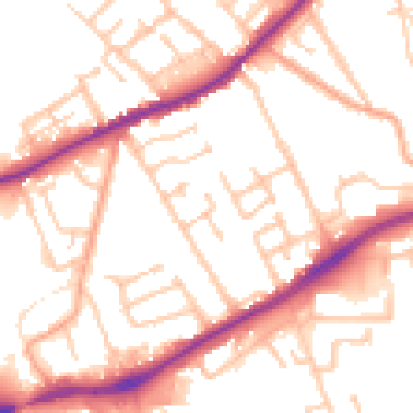
Daytime· 07:00 – 23:00
52.7dB

Night-time· 23:00 – 07:00
43.3dB