7 Park Street, Cheslyn Hay, Walsall, WS6 7EF
About 7 Park Street
7 Park Street is a four-bedroom end-of-terrace house in Cheslyn Hay, Walsall, Walsall (WS6 7EF). It has a recorded floor area of 108 m² (around 1163 sq ft), construction records dating it to 1900-1929 and council tax band A. The latest certificate (November 2013) shows a D (score 64), on the cusp of jumping into the C band. The recommended improvements would lift it to B (score 82), a 2-band jump. The latest certificate is from November 2013, so improvements made since then won't be reflected. Records show the property has been extended at some point in its history.
At 108 m² the property is well over the postcode median (59 m² across 15 EPCs), placing it in the larger end of the local stock. One planning record on file: an extension approved in 2007. Past consents include an extension, meaningful when judging how the property has evolved. Across 2007–2021, sale prices on this property compounded at 5.3% per year. Today's modelled estimate of £355,000 is 35.5% above the 2021 sale price. On a £-per-square-foot basis, the last sale (£225/sq ft) was about 23.9% above the typical sold price in the postcode. Last sale on file: £262,000 in May 2021. That sale was during the post-pandemic price surge, when transactions cleared materially above pre-2020 trend.
What this property has
Inside
- Bedrooms4
- Bathrooms3
- Dining roomYes
- Utility roomYes
- EnsuiteYes
Outside
- Private gardenYes
- DrivewayYes
Building
- Previously extendedYes
- RefurbishedYes
Everything you need to know about 7 Park Street
The true value, the hidden risks and the full sale history, in one report.
Pick your report · every report is £14.99
One time fee only - money back guarantee

The data behind every report


Energy performance
Recommended upgrades on file would lift this property by multiple EPC bands.
EPC Expired
This certificate is over 10 years old and is no longer valid.Expired 25 Nov 2023
EPC Rating
Get a survey for this property
Level 3 Building Survey
Because the property was built before 1919 and has solid (non-cavity) walls, we believe a Level 3 building survey should be considered.
From £955 · Includes VAT
Planning history
Council records include a two-storey rear extension at 7 Park Street.
1 application on record at 7 Park Street, Cheslyn Hay, Walsall, WS6 7EF
- May 2007ExtensionFullOutcome in report
Extension: Two storey · Rear of property
Rear two storey extension
- Reference
- 07/00505/FUL
Unlock 7 Park Street, Cheslyn Hay, Walsall, WS6 7EF's full planning history
You're seeing the shape of it. The report has the substance.
- Every decision — granted, refused or withdrawn (1 on record)
- All 1 application on this property in full
- What the pattern means for extending or converting here
One time fee only - money back guarantee
Sales history & valuation
Sale price has at least doubled since 2007.
£355,000
Modelled from EPC, postcode comparables and a sale-price growth of 5.3% per year over 14 years.
£262,000
Growth on file: 5.3% per year over 14 years.
Sales timeline
23 May 2021Most recent
£262,000
+49.7%over 6 years9 January 2015
£175,000
+40.0%over 7 years1 March 2007
£125,000
Median price across the last 5 sales in WS6 7EF: £203,000 (2025–2024).
Nearby sales in WS6 7EF
Ash House, Park Street, Cheslyn Hay, Walsall, WS6 7EF
Sold Mar 2025
£430,00018 Park Street, Cheslyn Hay, Walsall, WS6 7EF
Sold Jan 2025
£203,000Tree Tops, Park Street, Cheslyn Hay, Walsall, WS6 7EF
Sold Dec 2024
£170,00014 Park Street, Cheslyn Hay, Walsall, WS6 7EF
Sold Jul 2024
£185,00025 Park Street, Cheslyn Hay, Walsall, WS6 7EF
Sold Mar 2024
£350,000
Versus other Park Street homes
7 Park Street outperforms the street on habitable rooms by a wide margin.
Price per m²
£2,426
Street avg £2,157
Floor Area
108 m²
Street avg 90 m²
Habitable Rooms
6 rooms
Street avg 4 rooms
CO₂ Emissions
4.1 t/year
Street avg 3.7 t/year
Everything you need to know about 7 Park Street
The true value, the hidden risks and the full sale history, in one report.
Pick your report · every report is £14.99
One time fee only - money back guarantee
The data behind every report
Similar properties nearby
1 Besom Way, Cheslyn Hay
WS6 7NZ
1 Clover Ridge, Cheslyn Hay
WS6 7DP
1 Anstree Close, Cheslyn Hay
WS6 7LS
1 Cranmer Close, Cheslyn Hay
WS6 7LT
1 Dundalk Lane
WS6 7BB
1 Falcon Close
WS6 7LJ
1 Cheslyn Drive
WS6 7DU
1 Bridge Avenue
WS6 7EP
The neighbourhood at a glance
Rail-style transport is unusually close for this postcode.
Crime
3/mo
Steady year-on-year across the wider district.
Nearest stop
0.2 km
Coppice Lane — bus stop.
Closest school
0.2 km
Glenthorne Community Primary School. 10 schools nearby.
Go deeper on the local area
A Local Area report breaks down crime, transport links, schools and air quality in depth.
Road noise across the postcode
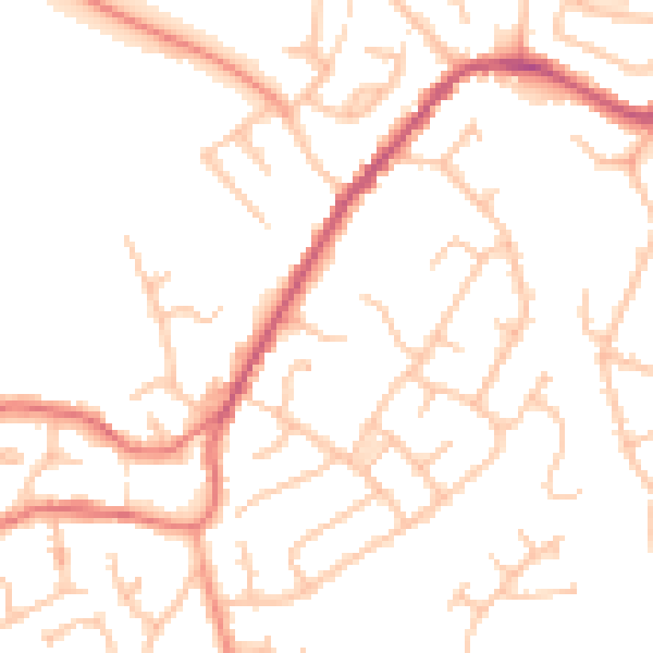
Daytime· 07:00 – 23:00
50.3dB

Night-time· 23:00 – 07:00
40.7dB