13 Church Lane, Cotheridge, Worcester, WR6 5LW
About 13 Church Lane
13 Church Lane is a four-bedroom mid-terrace house in Cotheridge, Worcester, Worcester (WR6 5LW). It has a recorded floor area of 107 m² (around 1152 sq ft), construction records dating it to 1930-1949 and council tax band C. The latest certificate (March 2018) shows an E (score 40), well below the UK norm with real room to improve. Earlier certificates rated it D (August 2012); the latest reading is one band lower. Between certificates, lighting went from Good to Very Good; while hot-water efficiency dropped from Good to Very Poor and main heating dropped from Good to Poor. The recommended improvements would lift it to C (score 70), a 2-band jump. Main heating runs on lpg. Other recorded features include notable views.
At 107 m² it's 16.9% larger than the typical home in the postcode (92 m² median across 8 EPCs). Across 1999–2018, sale prices on this property compounded at 7.4% per year. Today's modelled estimate of £348,000 is 31.3% above the 2018 sale price. Most recent transfer: July 2018 at £265,000. One historical planning record sits against the property in 2003.
Know exactly what you're buying at 13 Church Lane
Before you offer, see what the listing won't tell you, the true value, the red flags and the full history.
Already flagged here
Valuation
against the asking price
Risks
planning & flood
Sold prices
similar homes nearby
Trends
the local market
What this property has
Inside
- Bedrooms4
- Bathrooms1
- Dining roomYes
- FireplaceYes
Outside
- Private gardenYes
- Notable viewsYes
Energy performance
Recommended upgrades on file would lift this property by multiple EPC bands.
EPC Rating
Property Improvements
Changes detected from historical EPC data
Fuel source changed
Hot water efficiency decreased
More low energy lighting installed
Planning history
- Dec 2003ExtensionFullIn report
Extension: Single storey · Rear of property
Rear extension to form utility, play room, dining room, wc and first floor bedroom.
- Reference
- 03/01348/FUL
We flagged 1 thing worth checking at 13 Church Lane
Independent checks surfaced things a buyer would want to understand before offering. The report explains each one in full, with the underlying data and what to ask.
- Larger development activity nearby
30-day money-back guarantee
Sales history & valuation
13 Church Lane has more than tripled in price since its earliest registered sale in 1999.
£348,000
Modelled from EPC, postcode comparables and a sale-price growth of 7.4% per year over 19 years.
£265,000
Growth on file: 7.4% per year over 19 years.
Sales timeline
19 July 2018Most recent
£265,000
+45.2%over 5 years4 July 2013
£182,500
+170.4%over 14 years1 July 1999
£67,500
Median price across the last 5 sales in WR6 5LW: £275,000 (2024–2017).
Nearby sales in WR6 5LW
5 Church Lane, Cotheridge, Worcester, WR6 5LW
Sold May 2024
£320,0004 Church Lane, Cotheridge, Worcester, WR6 5LW
Sold Nov 2017
£275,0003 Church Lane, Cotheridge, Worcester, WR6 5LW
Sold Nov 2017
£261,50014 Church Lane, Cotheridge, Worcester, WR6 5LW
Sold Jul 2006
£275,0008 Church Lane, Cotheridge, Worcester, WR6 5LW
Sold Jan 2006
£170,000
Everything we know about 13 Church Lane, in one report
What it's really worth, what could be wrong, and the planning, sales and area data in full.
What we flagged
- Larger development activity nearby

Versus other Church Lane homes
Habitable Rooms for 13 Church Lane runs comfortably ahead of the street norm.
Price per m²
£2,477
Street avg £2,716
Floor Area
107 m²
Street avg 91 m²
Habitable Rooms
6 rooms
Street avg 5 rooms
CO₂ Emissions
4.8 t/year
Street avg 5.0 t/year
Similar properties nearby
1 Berryfield Close, Broadwas
WR6 5NJ
1 Ashpool, Whitbourne
WR6 5SD
1 Church Cottages, Knightsford Bridge, Knightwick
WR6 5PJ
1 Blacksmiths Cottages, Meadow Green, Whitbourne
WR6 5RN
1 Clifton Cottages, Bromyard Road, Cotheridge
WR6 5LX
1 Ash Tree Close, Alfrick
WR6 5JW
1 Brockamin Court, Dingle Road, Leigh
WR6 5JX
1 Coldharbour Cottage, Stonehouse Lane, Bringsty
WR6 5TG
The neighbourhood at a glance
Daytime road noise here sits well below conversation level — a quiet pocket of the postcode.
Crime
4/mo
Steady year-on-year across the wider district.
Nearest stop
0.8 km
Lightwood Turn — bus stop.
Closest school
2.7 km
Broadwas CofE Aided Primary School. 1 school nearby.
Go deeper on the local area
The full report breaks down crime, transport links, schools and air quality in depth.
Road noise across the postcode
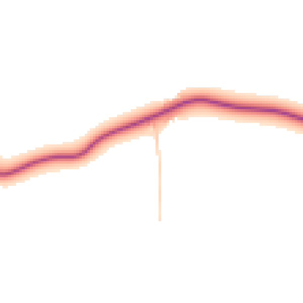
Daytime· 07:00 – 23:00
44.5dB

Night-time· 23:00 – 07:00
39.2dB