Charlcote House, Flat 3, Zetland Road, Malvern, WR14 2JJ
About Charlcote House
Charlcote House is a property in Malvern (WR14 2JJ). It has council tax band D.
It hasn't traded since July 2002, a hold of 24 years that's notably long for the area. One planning record on file: tree works approved in 2013. Past consents include tree works, meaningful when judging how the property has evolved.
Know exactly what you're buying at Charlcote House
Before you offer, see what the listing won't tell you, the true value, the red flags and the full history.
Valuation
against the asking price
Risks
planning & flood
Sold prices
similar homes nearby
Trends
the local market
Energy performance
No EPC on record
This property doesn't have an Energy Performance Certificate yet. An EPC is required to sell or let — and unlocks our automated valuation.
Planning history
- Aug 2013Tree WorksTreesIn report
Reduce height of seven conifers to approximately 2m above ground level
- Documents
- 2 docs on file
- Reference
- 13/00940/TCN
What's in Charlcote House, Flat 3, Zetland Road, Malvern, WR14 2JJ's planning history?
Refusals, disputes and full decisions on this property and nearby, in the report.
Sales history & valuation
£149,000
Recorded with HM Land Registry.
Sales timeline
24 July 2002Most recent
£149,000
Median price across the last 5 sales in WR14 2JJ: £310,000 (2017–2007).
Nearby sales in WR14 2JJ
Everything we know about Charlcote House, in one report
What it's really worth, what could be wrong, and the planning, sales and area data in full.
- Am I paying too much?
- Is something wrong with it?
- Is the agent's story true?
- Will it hold its value?

Similar properties nearby
Balmoral, Apartment 2, 1 Victoria Road
WR14 2TD
Balmoral, Apartment 1, 1 Victoria Road
WR14 2TD
Bank Top Flat, 24 Link Terrace
WR14 2JE
Balmoral, Apartment 3, 1 Victoria Road
WR14 2TD
Balmoral, Apartment 4, 1 Victoria Road
WR14 2TD
7 Nethergrange Flats, Albert Road North
WR14 2TP
Avon House 112a, Flat 2, Graham Road
WR14 2HX
6 Nethergrange Flats, Albert Road North
WR14 2TP
The neighbourhood at a glance
Rail-style transport is unusually close for this postcode.
Crime
3/mo
Steady year-on-year across the wider district.
Nearest stop
0.1 km
Bank Street — bus stop.
Closest school
0.7 km
St Joseph's Catholic Primary School. 12 schools nearby.
Go deeper on the local area
The full report breaks down crime, transport links, schools and air quality in depth.
Road noise across the postcode
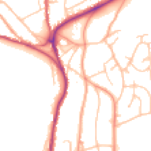
Daytime· 07:00 – 23:00
51.0dB
Night-time· 23:00 – 07:00
42.2dB