11 Ranelagh Road, Malvern, WR14 1BQ
About 11 Ranelagh Road
11 Ranelagh Road is a property in Malvern (WR14 1BQ). It has council tax band D.
Untraded for 24 years, with the last transfer in June 2002. 2 planning records sit against the property, 0 approved, 0 refused.
Know exactly what you're buying at 11 Ranelagh Road
Before you offer, see what the listing won't tell you, the true value, the red flags and the full history.
Already flagged here
Valuation
against the asking price
Risks
planning & flood
Sold prices
similar homes nearby
Trends
the local market
Energy performance
No EPC on record
This property doesn't have an Energy Performance Certificate yet. An EPC is required to sell or let — and unlocks our automated valuation.
Planning history
- Jan 2003ExtensionFullIn report
Extension: Single storey · Rear of property
Single storey rear extension to form new kitchen.
- Reference
- 02/01649/FUL
- Dec 2002Tree WorksTreesIn report
Fell holly, rebalance plum, reshape green guage and plum
- Reference
- 02/01386/TCN
We flagged 1 thing worth checking at 11 Ranelagh Road
Independent checks surfaced things a buyer would want to understand before offering. The report explains each one in full, with the underlying data and what to ask.
- Larger development activity nearby
30-day money-back guarantee
Sales history & valuation
£165,000
Recorded with HM Land Registry.
Sales timeline
6 June 2002Most recent
£165,000
Median price across the last 3 sales in WR14 1BQ: £370,000 (2018–2015).
Everything we know about 11 Ranelagh Road, in one report
What it's really worth, what could be wrong, and the planning, sales and area data in full.
What we flagged
- Larger development activity nearby

Similar properties nearby
1 Albert Park Mews, Albert Park Road
WR14 1HN
1 Albert Park Road
WR14 1HL
1 Albion Road
WR14 1PU
1 Alexandra Mews, Alexandra Lane
WR14 1GE
1 Alexandra Road
WR14 1HA
1 Archer Close
WR14 1PS
1 Ashwin House, Howsell Road
WR14 1TF
1 Aspen Court, Osborne Road
WR14 1JE
The neighbourhood at a glance
Crime
3/mo
Steady year-on-year across the wider district.
Nearest stop
0.1 km
The Oak Inn — bus stop.
Closest school
0.8 km
St Matthias Church of England Primary School. 10 schools nearby.
Go deeper on the local area
The full report breaks down crime, transport links, schools and air quality in depth.
Road noise across the postcode
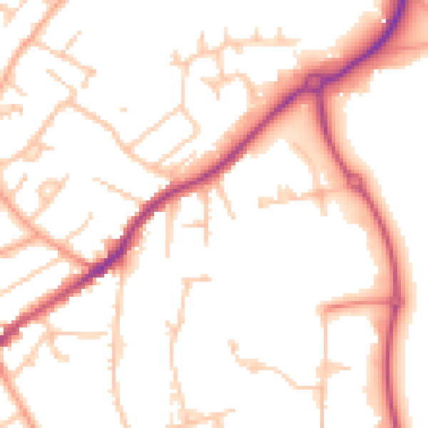
Daytime· 07:00 – 23:00
51.2dB

Night-time· 23:00 – 07:00
42.0dB