194 Worcester Road, Malvern, WR14 1AG
About 194 Worcester Road
194 Worcester Road is a four-bedroom detached house in Malvern (WR14 1AG). It has a recorded floor area of 145 m² (around 1561 sq ft), construction records dating it to 1900-1929 and council tax band C. The latest certificate (July 2019) shows a D (score 62), on the cusp of jumping into the C band. When first surveyed in October 2008 the rating was E, the property has climbed 1 band since. Between certificates, window efficiency went from Poor to Average and lighting went from Very Poor to Average. The recommended improvements would lift it to B (score 83), a 2-band jump. Other recorded features include notable views. Period features are noted in the property record. The home occupies a cul-de-sac position.
At 145 m² the property is well over the postcode median (52 m² across 28 EPCs), placing it in the larger end of the local stock. One planning record on file: an extension approved in 2024. Past consents include an extension and a garage conversion, meaningful when judging how the property has evolved. Today's modelled estimate of £376,000 is 29.7% above the 2021 sale price. Most recent transfer: March 2021 at £290,000. That sale was during the post-pandemic price surge, when transactions cleared materially above pre-2020 trend.
Know exactly what you're buying at 194 Worcester Road
Before you offer, see what the listing won't tell you, the true value, the red flags and the full history.
Already flagged here
Valuation
against the asking price
Risks
planning & flood
Sold prices
similar homes nearby
Trends
the local market
What this property has
Inside
- Bedrooms4
- Bathrooms1
- Dining roomYes
- EnsuiteYes
Outside
- Private gardenYes
- Notable viewsYes
- Cul-de-sacYes
Building
- Period featuresYes
Energy performance
194 Worcester Road's carbon output runs well above what efficient homes in the postcode produce.
EPC Rating
Property Improvements
Changes detected from historical EPC data
Windows upgraded, improving insulation
More low energy lighting installed
Planning history
- Jan 2024Garage ConversionFullIn report
Extension to existing garage and change of use to habitable space.
Extension- Documents
- 10 docs on file
- Reference
- M/23/01417/HP
We flagged 1 thing worth checking at 194 Worcester Road
Independent checks surfaced things a buyer would want to understand before offering. The report explains each one in full, with the underlying data and what to ask.
- Larger development activity nearby
30-day money-back guarantee
Sales history & valuation
Latest sale on 194 Worcester Road was the highest on Land Registry record across the postcode.
£376,000
Modelled from EPC, postcode comparables.
£290,000
Recorded with HM Land Registry.
Sales timeline
17 March 2021Most recent
£290,000
Median price across the last 5 sales in WR14 1AG: £135,000 (2023–2021).
Nearby sales in WR14 1AG
Flat 4, 178 Worcester Road, Malvern, WR14 1AG
Sold May 2023
£135,000Flat 2, 178 Worcester Road, Malvern, WR14 1AG
Sold Jun 2022
£87,000192 Worcester Road, Malvern, WR14 1AG
Sold Oct 2021
£186,000190 Worcester Road, Malvern, WR14 1AG
Sold Aug 2021
£225,000Flat 3, 178 Worcester Road, Malvern, WR14 1AG
Sold Mar 2021
£100,000
Everything we know about 194 Worcester Road, in one report
What it's really worth, what could be wrong, and the planning, sales and area data in full.
What we flagged
- Larger development activity nearby

Versus other Worcester Road homes
On habitable rooms, 194 Worcester Road stands well clear of the street.
Price per m²
£2,000
Street avg £2,218
Floor Area
145 m²
Street avg 99 m²
Habitable Rooms
8 rooms
Street avg 5 rooms
CO₂ Emissions
6.2 t/year
Street avg 3.9 t/year
Similar properties nearby
1 Biggin Hill Close
WR14 1GX
1 Chase End Close
WR14 1FS
1 Catalpa Close
WR14 1UH
1 Bradley Drive
WR14 1JS
1 Bracken Way
WR14 1JH
1 Bosbury Road
WR14 1TR
1 Albert Park Mews, Albert Park Road
WR14 1HN
1 Balmoral Close
WR14 1YB
The neighbourhood at a glance
Rail-style transport is unusually close for this postcode.
Crime
3/mo
Steady year-on-year across the wider district.
Nearest stop
0.0 km
Lower Howsell Road — bus stop.
Closest school
0.5 km
St Matthias Church of England Primary School. 11 schools nearby.
Go deeper on the local area
The full report breaks down crime, transport links, schools and air quality in depth.
Road noise across the postcode
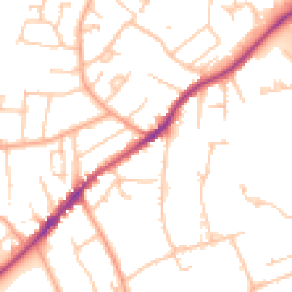
Daytime· 07:00 – 23:00
50.3dB

Night-time· 23:00 – 07:00
40.2dB