28 Arundel Street, Newtown, Wigan, WN5 9BQ
About 28 Arundel Street
28 Arundel Street is a property in Newtown, Wigan, Wigan (WN5 9BQ). It has council tax band A.
Untraded for 27 years, with the last transfer in July 1999. Only one transfer is on record with HM Land Registry, suggesting it has stayed in the same hands for a long time.
Everything you need to know about 28 Arundel Street
The true value, the hidden risks and the full sale history, in one report.
30-day money-back guarantee

The data behind every report


Energy performance
No EPC on record
This property doesn't have an Energy Performance Certificate yet. An EPC is required to sell or let — and unlocks our automated valuation.
Get a survey for this property
Level 2 HomeBuyer Report
We've checked 10 risk factors against the available data for this property and believe a Level 2 HomeBuyer Report could be a suitable option for you.
Planning history
28 Arundel Street has no planning applications on record.
Notable planning nearby
25applications of note in the surrounding area
We flagged 2 things worth checking at 28 Arundel Street
Independent checks surfaced things a buyer would want to understand before offering. The report explains each one in full, with the underlying data and what to ask.
- Signs of HMO activity in the area
- Larger development activity nearby
30-day money-back guarantee
Sales history & valuation
28 Arundel Street has been held in the same hands since before 2000.
£34,000
Recorded with HM Land Registry.
Sales timeline
15 July 1999Most recent
£34,000
Median price across the last 5 sales in WN5 9BQ: £115,000 (2025–2022).
Nearby sales in WN5 9BQ
34 Arundel Street, Newtown, Wigan, WN5 9BQ
Sold Feb 2025
£109,00014 Arundel Street, Newtown, Wigan, WN5 9BQ
Sold Sept 2024
£115,0007 Arundel Street, Newtown, Wigan, WN5 9BQ
Sold Nov 2023
£142,0005 Arundel Street, Newtown, Wigan, WN5 9BQ
Sold Sept 2023
£157,00031 Arundel Street, Newtown, Wigan, WN5 9BQ
Sold Oct 2022
£110,000
Everything you need to know about 28 Arundel Street
The true value, the hidden risks and the full sale history, in one report.
30-day money-back guarantee
The data behind every report
Similar properties nearby
The neighbourhood at a glance
Crime
2/mo
Steady year-on-year across the wider district.
Nearest stop
0.1 km
St Mark's Church — bus stop.
Closest school
0.3 km
St Mark's CofE Primary School. 28 schools nearby.
Go deeper on the local area
The full report breaks down crime, transport links, schools and air quality in depth.
Road noise across the postcode
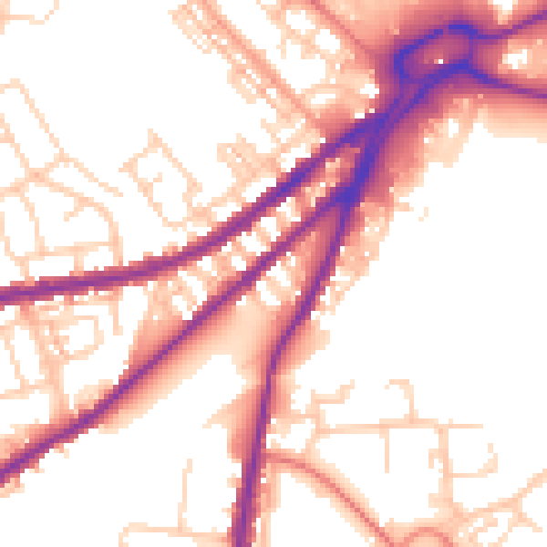
Daytime· 07:00 – 23:00
54.5dB

Night-time· 23:00 – 07:00
46.1dB