19 Arundel Street, Newtown, Wigan, WN5 9BQ
About 19 Arundel Street
19 Arundel Street is a two-bedroom end-of-terrace house in Newtown, Wigan, Wigan (WN5 9BQ). It has a recorded floor area of 96 m² (around 1033 sq ft), construction records dating it to before 1900 and council tax band A. The latest certificate (February 2016) shows an E (score 39), well below the UK norm with real room to improve. Earlier certificates rated it D (November 2013); the latest reading is one band lower. Between certificates, wall efficiency dropped from Poor to Very Poor and roof efficiency dropped from Very Good to Very Poor. The recommended improvements would lift it to C (score 69), a 2-band jump. The latest certificate is from February 2016, so improvements made since then won't be reflected.
At 96 m² it's 23.9% larger than the typical home in the postcode (78 m² median across 24 EPCs). It lags the bulk of the postcode on energy efficiency (less efficient than 79% of similar EPCs). Across 2002–2021, sale prices on this property compounded at 6.8% per year. Today's modelled estimate of £123,000 is 49.1% above the 2021 sale price. Last sale on file: £82,500 in November 2021. That sale was during the post-pandemic price surge, when transactions cleared materially above pre-2020 trend.
What this property has
Inside
- Bedrooms2
Outside
- Private gardenYes
Building
- Heating systemGas
Everything you need to know about 19 Arundel Street
The true value, the hidden risks and the full sale history, in one report.
30-day money-back guarantee

The data behind every report


Energy performance
19 Arundel Street's carbon output runs well above what efficient homes in the postcode produce.
EPC Expired
This certificate is over 10 years old and is no longer valid.Expired 08 Feb 2026
EPC Rating
Property Improvements
Changes detected from historical EPC data
Heating controls changed
Cavity wall insulation installed
Low energy lighting percentage decreased
Get a survey for this property
Level 3 Building Survey
Because the property was built before 1919, we believe a Level 3 building survey should be considered.
From £820 · Includes VAT
Planning history
19 Arundel Street has no planning applications on record.
Notable planning nearby
25applications of note in the surrounding area
We flagged 2 things worth checking at 19 Arundel Street
Independent checks surfaced things a buyer would want to understand before offering. The report explains each one in full, with the underlying data and what to ask.
- Signs of HMO activity in the area
- Larger development activity nearby
30-day money-back guarantee
Sales history & valuation
19 Arundel Street has more than tripled in price since its earliest registered sale in 2002.
£123,000
Modelled from EPC, postcode comparables and a sale-price growth of 6.8% per year over 20 years.
£82,500
Growth on file: 6.8% per year over 20 years.
Sales timeline
12 November 2021Most recent
£82,500
+266.7%over 19 years15 February 2002
£22,500
Median price across the last 5 sales in WN5 9BQ: £115,000 (2025–2022).
Nearby sales in WN5 9BQ
34 Arundel Street, Newtown, Wigan, WN5 9BQ
Sold Feb 2025
£109,00014 Arundel Street, Newtown, Wigan, WN5 9BQ
Sold Sept 2024
£115,0007 Arundel Street, Newtown, Wigan, WN5 9BQ
Sold Nov 2023
£142,0005 Arundel Street, Newtown, Wigan, WN5 9BQ
Sold Sept 2023
£157,00031 Arundel Street, Newtown, Wigan, WN5 9BQ
Sold Oct 2022
£110,000
Versus other Arundel Street homes
19 Arundel Street is notably below the street on epc rating.
Price per m²
£859
Street avg £933
Floor Area
96 m²
Street avg 81 m²
Habitable Rooms
4 rooms
Street avg 4 rooms
CO₂ Emissions
7.4 t/year
Street avg 3.8 t/year
Everything you need to know about 19 Arundel Street
The true value, the hidden risks and the full sale history, in one report.
30-day money-back guarantee
The data behind every report
Similar properties nearby
1 Callander Court
WN5 9RW
1 Argyll Street
WN5 9BG
1 Alker Street
WN5 9BW
1 Arundel Street, Newtown
WN5 9BQ
1 Bulteel Street
WN5 9NT
1 Claude Street
WN5 9QP
1 Bramble Grove
WN5 9PR
1 Campbell Street
WN5 9HT
The neighbourhood at a glance
Crime
2/mo
Steady year-on-year across the wider district.
Nearest stop
0.1 km
St Mark's Church — bus stop.
Closest school
0.3 km
St Mark's CofE Primary School. 28 schools nearby.
Go deeper on the local area
The full report breaks down crime, transport links, schools and air quality in depth.
Road noise across the postcode
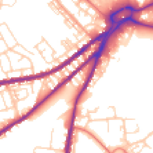
Daytime· 07:00 – 23:00
54.5dB

Night-time· 23:00 – 07:00
46.1dB