10 Byron Close, Orrell, Wigan, WN5 8PB
About 10 Byron Close
10 Byron Close is a semi-detached house in Orrell, Wigan, Wigan (WN5 8PB). It has a recorded floor area of 72 m² (around 775 sq ft), construction records dating it to 1967-1975 and council tax band C. The latest certificate (July 2024) shows a C (score 69), just inside the C band. The recommended improvements would push it to B (score 84).
At 72 m² it's 26.5% smaller than the typical home in the postcode (98 m² median across 8 EPCs). On energy efficiency it sits in the top 10% of properties in this postcode. Most recent transfer was February 2025 at £135,000 — fresh data. Today's modelled estimate of £200,000 is 48.1% above the 2025 sale price. On a £-per-square-foot basis, the last sale (£174/sq ft) was about 31.3% above the typical sold price in the postcode.
Everything you need to know about 10 Byron Close
The true value, the hidden risks and the full sale history, in one report.
30-day money-back guarantee

The data behind every report


Energy performance
10 Byron Close ranks among the most efficient homes in the postcode for energy use.
EPC Rating
Get a survey for this property
Level 2 HomeBuyer Report
We've checked 10 risk factors against the available data for this property and believe a Level 2 HomeBuyer Report could be a suitable option for you.
From £495 · Includes VAT
Planning history
10 Byron Close has no planning applications on record.
Notable planning nearby
7applications of note in the surrounding area
We flagged 2 things worth checking at 10 Byron Close
Independent checks surfaced things a buyer would want to understand before offering. The report explains each one in full, with the underlying data and what to ask.
- Signs of HMO activity in the area
- Larger development activity nearby
30-day money-back guarantee
Sales history & valuation
10 Byron Close valuation sits well clear of the typical sold price in this postcode.
£200,000
Modelled from EPC, postcode comparables.
£135,000
Recorded with HM Land Registry.
Sales timeline
27 February 2025Most recent
£135,000
Median price across the last 5 sales in WN5 8PB: £208,000 (2023–2018).
Nearby sales in WN5 8PB
Versus other Byron Close homes
On years held, 10 Byron Close runs well behind the street norm.
Price per m²
£1,875
Street avg £2,002
Floor Area
72 m²
Street avg 97 m²
Habitable Rooms
5 rooms
Street avg 4 rooms
CO₂ Emissions
2.9 t/year
Street avg 5.2 t/year
Everything you need to know about 10 Byron Close
The true value, the hidden risks and the full sale history, in one report.
30-day money-back guarantee
The data behind every report
Similar properties nearby
The neighbourhood at a glance
Crime
2/mo
Steady year-on-year across the wider district.
Nearest stop
0.3 km
Rydal Avenue — bus stop.
Closest school
0.3 km
St Peter's Catholic High School. 19 schools nearby.
Go deeper on the local area
The full report breaks down crime, transport links, schools and air quality in depth.
Road noise across the postcode
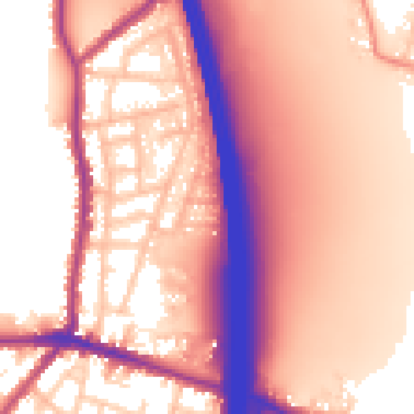
Daytime· 07:00 – 23:00
59.6dB
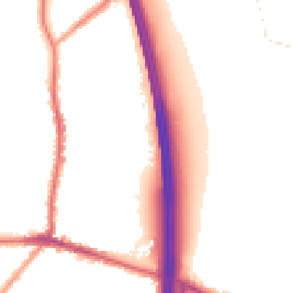
Night-time· 23:00 – 07:00
52.1dB