18 Bankes Avenue, Orrell, Wigan, WN5 8HU
About 18 Bankes Avenue
18 Bankes Avenue is a four-bedroom semi-detached house in Orrell, Wigan, Wigan (WN5 8HU). It has a recorded floor area of 159 m² (around 1711 sq ft), construction records dating it to 1930-1949 and council tax band C. The latest certificate (July 2013) shows a D (score 66), on the cusp of jumping into the C band. The recommended improvements would push it to C (score 75). The latest certificate is from July 2013, so improvements made since then won't be reflected. Other recorded features include a conservatory. Records show the property has been extended at some point in its history.
At 159 m² the property is well over the postcode median (85 m² across 17 EPCs), placing it in the larger end of the local stock. 2 planning records sit against the property, 2 approved, 0 refused. Past consents include an extension, a conservatory and partial demolition, meaningful when judging how the property has evolved. Across 1997–2019, sale prices on this property compounded at 5.9% per year. Today's modelled estimate of £243,000 is 18.5% above the 2019 sale price. On a £-per-square-foot basis, the last sale (£120/sq ft) was about 16% below the postcode norm. Sold November 2019 for £205,000.
What this property has
Inside
- Bedrooms4
- Dining roomYes
- EnsuiteYes
- ConservatoryYes
Outside
- Private gardenRear
Building
- Previously extendedYes
Everything you need to know about 18 Bankes Avenue
The true value, the hidden risks and the full sale history, in one report.
30-day money-back guarantee

The data behind every report


Energy performance
18 Bankes Avenue's EPC is over a decade old — improvements since won't be reflected.
EPC Expired
This certificate is over 10 years old and is no longer valid.Expired 17 Jul 2023
EPC Rating
Get a survey for this property
Level 2 HomeBuyer Report
We've checked 10 risk factors against the available data for this property and believe a Level 2 HomeBuyer Report could be a suitable option for you.
From £545 · Includes VAT
Planning history
Planning history includes recorded demolition works, indicating a major rebuild phase at this address.
- Jan 2009ConservatoryFullIn report
Extension: Rear of property
To retain conservatory to rear, part alteration to A/06/67844.
Extension- Documents
- 5 docs on file
- Reference
- A/08/72184
- Jan 2007ConservatoryFullIn report
Extension: Side and rear of property
To extend dwellinghouse; two storey to side and rear following demolition of existing garage together with erection of conservatory to rear and canopy to front.
ExtensionDemolition- Documents
- 5 docs on file
- Reference
- A/06/67844
We flagged 2 things worth checking at 18 Bankes Avenue
Independent checks surfaced things a buyer would want to understand before offering. The report explains each one in full, with the underlying data and what to ask.
- Signs of HMO activity in the area
- Larger development activity nearby
30-day money-back guarantee
Sales history & valuation
18 Bankes Avenue has more than tripled in price since its earliest registered sale in 1997.
£243,000
Modelled from EPC, postcode comparables and a sale-price growth of 5.9% per year over 23 years.
£205,000
Growth on file: 5.9% per year over 23 years.
Sales timeline
8 November 2019Most recent
£205,000
+272.7%over 22 years10 January 1997
£55,000
Median price across the last 5 sales in WN5 8HU: £185,000 (2023–2020).
Nearby sales in WN5 8HU
3 Bankes Avenue, Orrell, Wigan, WN5 8HU
Sold Nov 2023
£165,0005 Bankes Avenue, Orrell, Wigan, WN5 8HU
Sold Feb 2023
£235,0007 Bankes Avenue, Orrell, Wigan, WN5 8HU
Sold Jun 2021
£185,00013 Bankes Avenue, Orrell, Wigan, WN5 8HU
Sold Oct 2020
£140,00022 Bankes Avenue, Orrell, Wigan, WN5 8HU
Sold Mar 2020
£175,000
Versus other Bankes Avenue homes
18 Bankes Avenue outperforms the street on floor area by a wide margin.
Price per m²
£1,289
Street avg £1,722
Floor Area
159 m²
Street avg 88 m²
Habitable Rooms
7 rooms
Street avg 5 rooms
CO₂ Emissions
5.7 t/year
Street avg 4.2 t/year
Everything you need to know about 18 Bankes Avenue
The true value, the hidden risks and the full sale history, in one report.
30-day money-back guarantee
The data behind every report
Similar properties nearby
1 Cotswold Avenue
WN5 8JZ
1 Cosgate Close, Orrell
WN5 8SG
1 Brindley Street
WN5 8ET
1 Croft Avenue, Orrell
WN5 8TW
1 Cambridge Road, Orrell
WN5 8PL
1 Crantock Road
WN5 8AR
1 Coniston Avenue, Orrell
WN5 8PR
1 Beechwood Crescent, Orrell
WN5 8NL
The neighbourhood at a glance
Crime
2/mo
Steady year-on-year across the wider district.
Nearest stop
0.2 km
Chapel Street — bus stop.
Closest school
0.5 km
St John's CofE Primary School. 24 schools nearby.
Go deeper on the local area
The full report breaks down crime, transport links, schools and air quality in depth.
Road noise across the postcode
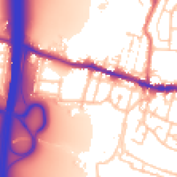
Daytime· 07:00 – 23:00
58.7dB

Night-time· 23:00 – 07:00
50.1dB