53 Fleet Street, Wigan, WN5 0DS
About 53 Fleet Street
53 Fleet Street is a mid-terrace house in Wigan (WN5 0DS). It has a recorded floor area of 73 m² (around 786 sq ft), construction records dating it to 1967-1975 and council tax band A. The latest certificate (October 2013) shows a D (score 60), on the cusp of jumping into the C band. The recommended improvements would lift it to B (score 87), a 2-band jump. The latest certificate is from October 2013, so improvements made since then won't be reflected.
Everything you need to know about 53 Fleet Street
The true value, the hidden risks and the full sale history, in one report.
30-day money-back guarantee

The data behind every report


Energy performance
Recommended upgrades on file would lift this property by multiple EPC bands.
EPC Expired
This certificate is over 10 years old and is no longer valid.Expired 28 Oct 2023
EPC Rating
Get a survey for this property
Level 2 HomeBuyer Report
We've checked 10 risk factors against the available data for this property and believe a Level 2 HomeBuyer Report could be a suitable option for you.
From £495 · Includes VAT
Planning history
53 Fleet Street has no planning applications on record.
Notable planning nearby
9applications of note in the surrounding area
We flagged 2 things worth checking at 53 Fleet Street
Independent checks surfaced things a buyer would want to understand before offering. The report explains each one in full, with the underlying data and what to ask.
- Signs of HMO activity in the area
- Larger development activity nearby
30-day money-back guarantee
Sales history & valuation
53 Fleet Street has no Land Registry sales on file, suggesting it has stayed in the same hands since registration began.
£126,000
Modelled from EPC, postcode comparables.
No sales recorded with HM Land Registry
That can mean the property has never traded since the registry began publishing in 1995, was a new build that hasn't been registered yet, or is held in the same hands long-term.
Median price across the last 5 sales in WN5 0DS: £110,000 (2024–2019).
Versus other Fleet Street homes
CO₂ Emissions for 53 Fleet Street lags the street by a wide margin.
EPC Rating
60 (D)
Street avg 66 (D)
Floor Area
73 m²
Street avg 74 m²
CO₂ Emissions
3.7 t/year
Street avg 3.2 t/year
Habitable Rooms
4 rooms
Street avg 4 rooms
Everything you need to know about 53 Fleet Street
The true value, the hidden risks and the full sale history, in one report.
30-day money-back guarantee
The data behind every report
Similar properties nearby
The neighbourhood at a glance
Crime
2/mo
Steady year-on-year across the wider district.
Nearest stop
0.1 km
Fleet Street — bus stop.
Closest school
0.0 km
St John's CofE Primary School. 24 schools nearby.
Go deeper on the local area
The full report breaks down crime, transport links, schools and air quality in depth.
Road noise across the postcode
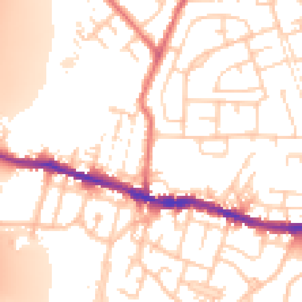
Daytime· 07:00 – 23:00
53.9dB

Night-time· 23:00 – 07:00
43.7dB