Apartment 24, 43 Riding Close, Hindley, Wigan, WN2 3FR
About Apartment 24
Apartment 24 is a mid-terrace house in Hindley, Wigan, Wigan (WN2 3FR). It has a recorded floor area of 53 m² (around 570 sq ft). The latest certificate (November 2016) returns a B (score 83), comfortably above the UK average. At 53 m² this is the 2nd smallest of 25 units on EPC record in the building, where floor areas span 51–64 m². The building's EPC ratings span C to B, with this unit at the top.
Everything you need to know about Apartment 24
The true value, the hidden risks and the full sale history, in one report.
Pick your report · every report is £14.99
One time fee only - money back guarantee

The data behind every report


Energy performance
Apartment 24's carbon output is low for the local stock.
EPC Rating
Get a survey for this property
Level 2 HomeBuyer Report
We've checked 10 risk factors against the available data for this property and believe a Level 2 HomeBuyer Report could be a suitable option for you.
From £495 · Includes VAT
Planning history
Apartment 24 has no planning applications on record.
But the area is active
4 notable applications nearby — larger schemes and conversions that could reshape the street. The report maps them all.
Sales history & valuation
Apartment 24 has no Land Registry sales on file, suggesting it has stayed in the same hands since registration began.
£148,000
Modelled from EPC, postcode comparables.
No sales recorded with HM Land Registry
That can mean the property has never traded since the registry began publishing in 1995, was a new build that hasn't been registered yet, or is held in the same hands long-term.
Versus other Riding Close homes
Floor Area for Apartment 24 lags the street by a wide margin.
EPC Rating
83 (B)
Street avg 82 (B)
Floor Area
53 m²
Street avg 60 m²
CO₂ Emissions
0.9 t/year
Street avg 1.0 t/year
Everything you need to know about Apartment 24
The true value, the hidden risks and the full sale history, in one report.
Pick your report · every report is £14.99
One time fee only - money back guarantee
The data behind every report
Similar properties nearby
31b, Flat 1, Atherton Road, Hindley
WN2 3EA
31b, Flat 2, Atherton Road, Hindley
WN2 3EA
31b, Flat 3, Atherton Road, Hindley
WN2 3EA
Apartment 10, 43 Riding Close, Hindley
WN2 3FR
Apartment 11, 43 Riding Close, Hindley
WN2 3FR
Apartment 14, 43 Riding Close, Hindley
WN2 3FR
Apartment 1, 43 Riding Close, Hindley
WN2 3FR
Apartment 12, 43 Riding Close, Hindley
WN2 3FR
The neighbourhood at a glance
Nearest stop
0.2 km
Hindley Health Centre — bus stop.
Closest school
0.1 km
St Peter's Church of England Primary School, Hindley. 21 schools nearby.
Go deeper on the local area
A Local Area report breaks down crime, transport links, schools and air quality in depth.
Road noise across the postcode
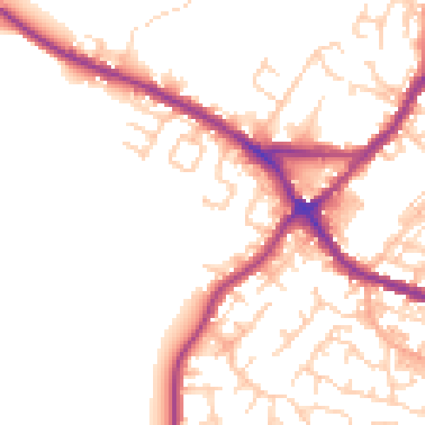
Daytime· 07:00 – 23:00
50.8dB

Night-time· 23:00 – 07:00
42.4dB