23 Eleventh Avenue, Liversedge, WF15 8LL
About 23 Eleventh Avenue
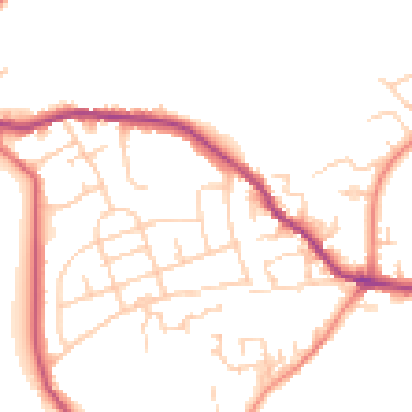
23 Eleventh Avenue is a property in Liversedge (WF15 8LL). It has council tax band A.
Held since June 1998 — that's 28 years off the open market, well above the local norm. Only one transfer is on record with HM Land Registry, suggesting it has stayed in the same hands for a long time.
Know exactly what you're buying at 23 Eleventh Avenue
Before you offer, see what the listing won't tell you, the true value, the red flags and the full history.
Already flagged here
Launch offer · save £5
Valuation
against the asking price
Risks
planning & flood
Sold prices
similar homes nearby
Trends
the local market
Energy performance
No EPC on record
This property doesn't have an Energy Performance Certificate yet. An EPC is required to sell or let — and unlocks our automated valuation.
Planning history
23 Eleventh Avenue has no planning applications on record.
Notable planning nearby
1applications of note in the surrounding area
We flagged 1 thing worth checking at 23 Eleventh Avenue
Independent checks surfaced things a buyer would want to understand before offering. The report explains each one in full, with the underlying data and what to ask.
- Larger development activity nearby
30-day money-back guarantee
Sales history & valuation
23 Eleventh Avenue has been held in the same hands since before 2000.
£19,950
Recorded with HM Land Registry.
Sales timeline
18 June 1998Most recent
£19,950
Median price across the last 5 sales in WF15 8LL: £92,000 (2021–2010).
Nearby sales in WF15 8LL
25 Eleventh Avenue, Liversedge, WF15 8LL
Sold Aug 2021
£128,00047 Eleventh Avenue, Liversedge, WF15 8LL
Sold Jul 2021
£110,00026 Eleventh Avenue, Liversedge, WF15 8LL
Sold May 2019
£92,00034 Eleventh Avenue, Liversedge, WF15 8LL
Sold Oct 2010
£80,00039 Eleventh Avenue, Liversedge, WF15 8LL
Sold Nov 2007
£89,000
Everything we know about 23 Eleventh Avenue, in one report
What it's really worth, what could be wrong, and the planning, sales and area data in full.
What we flagged
- Larger development activity nearby

Similar properties nearby
The neighbourhood at a glance
Crime
3/mo
Steady year-on-year across the wider district.
Nearest stop
0.1 km
First Avenue Halifax Rd — bus stop.
Closest school
0.4 km
High Bank Junior Infant and Nursery School. 14 schools nearby.
Go deeper on the local area
The full report breaks down crime, transport links, schools and air quality in depth.
Road noise across the postcode
Daytime· 07:00 – 23:00
50.9dB
Night-time· 23:00 – 07:00
41.7dB