25 Eleventh Avenue, Liversedge, WF15 8LL
About 25 Eleventh Avenue
25 Eleventh Avenue is a three-bedroom semi-detached house in Liversedge (WF15 8LL). It has a recorded floor area of 89 m² (around 958 sq ft), construction records dating it to 1950-1966 and council tax band A. The latest certificate (May 2021) shows a D (score 68), on the cusp of jumping into the C band. When first surveyed in November 2020 the rating was F, the property has climbed 2 bands since. Between certificates, hot-water efficiency went from Very Poor to Good, lighting went from Good to Very Good and main heating went from Very Poor to Good. The recommended improvements would lift it to B (score 82), a 2-band jump.
Across 2021–2021, sale prices on this property compounded at 106.5% per year. Today's modelled estimate of £179,000 is 39.8% above the 2021 sale price. On a £-per-square-foot basis, the last sale (£134/sq ft) was about 80.9% above the typical sold price in the postcode. Most recent transfer: August 2021 at £128,000. That sale was during the post-pandemic price surge, when transactions cleared materially above pre-2020 trend.
Know exactly what you're buying at 25 Eleventh Avenue
Before you offer, see what the listing won't tell you, the true value, the red flags and the full history.
Already flagged here
Launch offer · save £5
Valuation
against the asking price
Risks
planning & flood
Sold prices
similar homes nearby
Trends
the local market
What this property has
Inside
- Bedrooms3
- Bathrooms1
- Utility roomYes
Outside
- Private gardenYes
- ParkingYes
Building
- Central heatingYes
- RefurbishedYes
Energy performance
Recommended upgrades on file would lift this property by multiple EPC bands.
EPC Rating
Property Improvements
Changes detected from historical EPC data
Upgraded to gas central heating
Heating controls upgraded for better temperature management
Hot water system upgraded
More low energy lighting installed
Planning history
25 Eleventh Avenue has no planning applications on record.
Notable planning nearby
1applications of note in the surrounding area
We flagged 2 things worth checking at 25 Eleventh Avenue
Independent checks surfaced things a buyer would want to understand before offering. The report explains each one in full, with the underlying data and what to ask.
- Larger development activity nearby
- Recent ownership pattern worth a look
30-day money-back guarantee
Sales history & valuation
Latest sale on 25 Eleventh Avenue was the highest on Land Registry record across the postcode.
£179,000
Modelled from EPC, postcode comparables and a sale-price growth of 106.5% per year over 1 year.
£128,000
Growth on file: 106.5% per year over 1 year.
Sales timeline
5 August 2021Most recent
£128,000
+106.5%over 7 months5 January 2021
£62,000
Median price across the last 5 sales in WF15 8LL: £89,000 (2021–2007).
Nearby sales in WF15 8LL
47 Eleventh Avenue, Liversedge, WF15 8LL
Sold Jul 2021
£110,00026 Eleventh Avenue, Liversedge, WF15 8LL
Sold May 2019
£92,00034 Eleventh Avenue, Liversedge, WF15 8LL
Sold Oct 2010
£80,00039 Eleventh Avenue, Liversedge, WF15 8LL
Sold Nov 2007
£89,00030 Eleventh Avenue, Liversedge, WF15 8LL
Sold Aug 2003
£45,000
Everything we know about 25 Eleventh Avenue, in one report
What it's really worth, what could be wrong, and the planning, sales and area data in full.
What we flagged
- Larger development activity nearby
- Recent ownership pattern worth a look

Versus other Eleventh Avenue homes
Price per m² for 25 Eleventh Avenue runs comfortably ahead of the street norm.
Price per m²
£1,438
Street avg £756
Floor Area
89 m²
Street avg 84 m²
Habitable Rooms
4 rooms
Street avg 4 rooms
CO₂ Emissions
3.7 t/year
Street avg 3.5 t/year
Similar properties nearby
1 Laverhills
WF15 8EB
1 Ferncroft
WF15 8DT
1 Hare Park Lane
WF15 8EH
1 3, Chapel Street, Hightown
WF15 8HY
1 Lynfield Drive
WF15 8HH
1 Fall Lane, Hartshead
WF15 8AP
1 Church Street, Hightown
WF15 8HR
1 Heights Court
WF15 8HP
The neighbourhood at a glance
Crime
3/mo
Steady year-on-year across the wider district.
Nearest stop
0.1 km
First Avenue Halifax Rd — bus stop.
Closest school
0.4 km
High Bank Junior Infant and Nursery School. 14 schools nearby.
Go deeper on the local area
The full report breaks down crime, transport links, schools and air quality in depth.
Road noise across the postcode
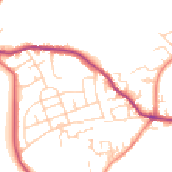
Daytime· 07:00 – 23:00
50.9dB

Night-time· 23:00 – 07:00
41.7dB