1 Plowes Way, Knottingley, WF11 0BD
About 1 Plowes Way
A plain-English summary derived from public records, EPC certificates, sold prices and local data.
1 Plowes Way is a detached house in Knottingley (WF11 0BD). It has a recorded floor area of 112 m² (around 1206 sq ft), construction records dating it to 2012-2021 and council tax band C. The latest certificate (November 2025) shows a C (score 78), near the top of the C band. Earlier certificates rated it B (December 2015); the latest reading is one band lower. Between certificates, wall efficiency dropped from Very Good to Good and window efficiency dropped from Very Good to Average. The recommended improvements would push it to B (score 82).
At 112 m² the property is well over the postcode median (76 m² across 22 EPCs), placing it in the larger end of the local stock. On energy efficiency it sits in the bottom 10% of properties in this postcode — significant headroom for improvement. Today's modelled estimate of £252,000 sits 95.1% above the 2015 sale of £129,195. On a £-per-square-foot basis, the last sale (£107/sq ft) was about 37.8% below the postcode norm. On the market in December 2015 and unlisted since — roughly 10 years.
Energy performance
Every EPC certificate filed against this property — current rating, recorded improvements, and where there's headroom to reach a higher band.
1 Plowes Way sits at the bottom of the postcode for energy efficiency — meaningful headroom to improve.
Current Certificate(1 of 2)
Nov 2025
EPC Rating
A
B
C
C78
D
E
F
G
Main Heating
Gas
Main Fuel
Gas
Hot Water
Good
Windows
Average
CO2 Emissions
2.5 t/year
Occupancy
Owner Occupied
Planning history
Applications and permits filed against 1 Plowes Way, Knottingley, WF11 0BD, sourced from the PlanIt planning register.
No planning applications are recorded against 1 Plowes Way, Knottingley, WF11 0BD. The full report also covers planning activity across the surrounding area.
Full planning data for 1 Plowes Way, Knottingley, WF11 0BD
Every application and decision on this property and nearby, in full, in the report.
Sales history & valuation
Recorded transactions, our model's current estimate, and a quick read on what neighbouring properties have sold for.
1 Plowes Way valuation sits well clear of the typical sold price in this postcode.
Current estimate
See how we calculated this£252,000
Modelled from EPC, postcode comparables.
Last sold (2015)
£129,195
Recorded with HM Land Registry.
Sales timeline
Launch offer · 33% off
The complete analysis of 1 Plowes Way, Knottingley, WF11 0BD
Everything we know about this property, compiled into one in-depth, downloadable report.
Detailed analysis
A written breakdown of everything that matters
Versus other Plowes Way homes
Four headline reads against 22 similar houses on this street, drawn from the latest EPC and Land Registry data.
1 Plowes Way is notably below the street on price per m².
Price per m²
£1,154
Street avg £2,052
Floor Area
112 m²
Street avg 80 m²
CO₂ Emissions
2.5 t/year
Street avg 1.5 t/year
Similar properties nearby
A handful of close matches in the same postcode area, ranked by likeness on bedrooms, type and floor area.
The neighbourhood at a glance
A condensed read of the local area. Each tile links through to the full breakdown on the Knottingley district page.
Rail-style transport is unusually close for this postcode.
Crime
5/mo
Steady year-on-year across the wider district.
Nearest stop
0.4 km
Ferrybridge Service Station — bus stop.
Road noise across the postcode
Modelled day and night-time noise levels around WF11 0BD from Defra's strategic mapping. The pin marks this postcode's centroid.
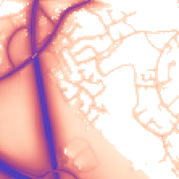
Daytime· 07:00 – 23:00
57.5dB

Everything within walking distance
Schools, transport stops and scenic spots near this property — 42 points of interest in total.
Common questions
The questions buyers, sellers and homeowners most often ask about 1 Plowes Way, Knottingley, WF11 0BD. Each answer is also embedded as structured data for search engines.
