27 Broughton Way, Rickmansworth, WD3 8GW
About 27 Broughton Way
27 Broughton Way is a three-bedroom mid-terrace house in Rickmansworth (WD3 8GW). It has a recorded floor area of 60 m² (around 641 sq ft), construction records dating it to 1996-2002 and council tax band D. The latest certificate (November 2011) shows a D (score 68), on the cusp of jumping into the C band. The recommended improvements would push it to C (score 75). The latest certificate is from November 2011, so improvements made since then won't be reflected. Other recorded features include a conservatory and a loft.
Last sale on file: £485,000 in July 2019. Across the public record there are 4 sales, relatively high churn for a single property. Across 1995–2019, sale prices on this property compounded at 7.4% per year. On a £-per-square-foot basis, the last sale (£757/sq ft) was about 199.7% above the typical sold price in the postcode.
Know exactly what you're buying at 27 Broughton Way
Before you offer, see what the listing won't tell you, the true value, the red flags and the full history.
Already flagged here
Valuation
against the asking price
Risks
planning & flood
Sold prices
similar homes nearby
Trends
the local market
What this property has
Inside
- Bedrooms3
- Bathrooms2
- Dining roomYes
- CloakroomYes
- EnsuiteYes
- LoftYes
- ConservatoryYes
Outside
- Private gardenYes
- ParkingOff road
Building
- RefurbishedYes
Energy performance
27 Broughton Way's EPC is over a decade old — improvements since won't be reflected.
EPC Expired
This certificate is over 10 years old and is no longer valid.Expired 09 Nov 2021
EPC Rating
Planning history
27 Broughton Way has no planning applications on record.
Notable planning nearby
1applications of note in the surrounding area
We flagged 1 thing worth checking at 27 Broughton Way
Independent checks surfaced things a buyer would want to understand before offering. The report explains each one in full, with the underlying data and what to ask.
- Larger development activity nearby
30-day money-back guarantee
Sales history & valuation
Price for 27 Broughton Way has grown more than fourfold since the 1995 starting point.
£524,000
Modelled from EPC, postcode comparables and a sale-price growth of 7.4% per year over 24 years.
£485,000
Growth on file: 7.4% per year over 24 years.
Sales timeline
23 July 2019Most recent
£485,000
+94.0%over 7 years27 February 2012
£249,950
+21.3%over 8 years18 September 2003
£206,000
+140.9%over 8 years30 April 1995
£85,500
Median price across the last 5 sales in WD3 8GW: £550,000 (2022–2016).
Nearby sales in WD3 8GW
10 Broughton Way, Rickmansworth, WD3 8GW
Sold Sept 2022
£420,00016 Broughton Way, Rickmansworth, WD3 8GW
Sold Jul 2022
£565,00019 Broughton Way, Rickmansworth, WD3 8GW
Sold Jun 2021
£431,50040 Broughton Way, Rickmansworth, WD3 8GW
Sold Aug 2016
£574,0002 Broughton Way, Rickmansworth, WD3 8GW
Sold May 2016
£645,000
Everything we know about 27 Broughton Way, in one report
What it's really worth, what could be wrong, and the planning, sales and area data in full.
What we flagged
- Larger development activity nearby

Versus other Broughton Way homes
On price per m², 27 Broughton Way stands well clear of the street.
Price per m²
£8,143
Street avg £4,060
Floor Area
60 m²
Street avg 76 m²
Habitable Rooms
4 rooms
Street avg 4 rooms
CO₂ Emissions
2.4 t/year
Street avg 2.6 t/year
Similar properties nearby
1 Hall Close, Mill End
WD3 8US
1 Ashleys
WD3 8JU
1 Chalk Dell, Orchard Way, Mill End
WD3 8AD
1 Grove Road, Mill End
WD3 8EB
1 Gade Villas, Uxbridge Road
WD3 8XA
1 Curtis Close, Mill End
WD3 8QA
1 Fotherley Road, Mill End
WD3 8QQ
1 Harriet Walker Way
WD3 8RT
The neighbourhood at a glance
Crime
8/mo
Steady year-on-year across the wider district.
Nearest stop
0.2 km
Windsor Way — bus stop.
Closest school
0.4 km
Shepherd Primary. 14 schools nearby.
Go deeper on the local area
The full report breaks down crime, transport links, schools and air quality in depth.
Road noise across the postcode
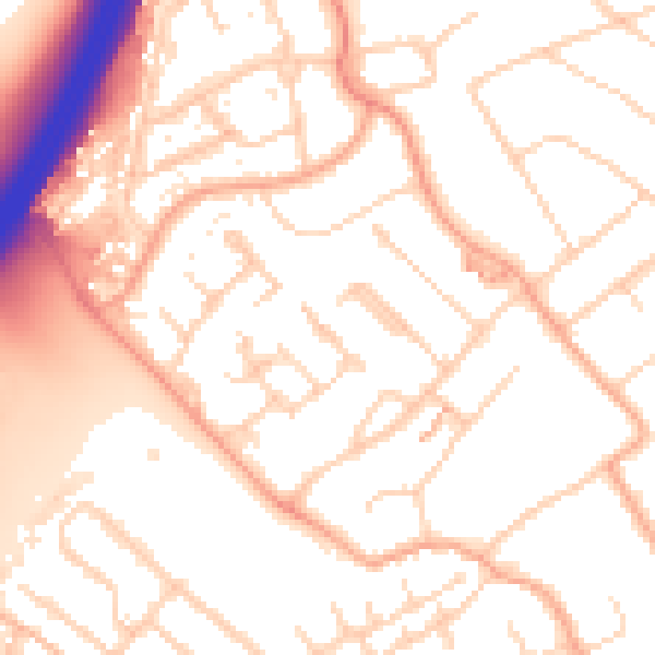
Daytime· 07:00 – 23:00
53.5dB

Night-time· 23:00 – 07:00
44.1dB