3 Chestnut Avenue, Rickmansworth, WD3 4HA
About 3 Chestnut Avenue
3 Chestnut Avenue is a four-bedroom detached house in Rickmansworth (WD3 4HA). It has a recorded floor area of 148 m² (around 1596 sq ft), construction records dating it to 1930-1949 and council tax band G. The latest certificate (September 2011) shows a D (score 63), on the cusp of jumping into the C band. The latest certificate is from September 2011, so improvements made since then won't be reflected.
At 148 m² it sits well below the postcode median (225 m² across 16 EPCs), making it one of the more compact homes locally. One planning record on file: an extension approved in 2021. Past consents include an extension, a garage conversion, a porch and partial demolition, meaningful when judging how the property has evolved. Across 2000–2013, sale prices on this property compounded at 4.4% per year. Today's modelled estimate of £1,303,000 is 38.6% above the 2013 sale price. On a £-per-square-foot basis, the last sale (£589/sq ft) was about 116.8% above the typical sold price in the postcode. Last changed hands 13 years ago, in May 2013.
Know exactly what you're buying at 3 Chestnut Avenue
Before you offer, see what the listing won't tell you, the true value, the red flags and the full history.
Valuation
against the asking price
Risks
planning & flood
Sold prices
similar homes nearby
Trends
the local market
What this property has
Inside
- Bedrooms4
Outside
- Private gardenYes
- GarageYes
Building
- Heating systemGas
Energy performance
3 Chestnut Avenue's carbon output runs well above what efficient homes in the postcode produce.
EPC Expired
This certificate is over 10 years old and is no longer valid.Expired 23 Sept 2021
EPC Rating
Planning history
Planning history includes recorded demolition works, indicating a major rebuild phase at this address.
- Aug 2021Garage ConversionFullIn report
Extension: Part single, part two storey
Demolition of existing store and construction of part single, part two storey side extension, first floor side extension, single storey rear extension, conversion of existing garage into habitable accommodation, alterations to fenestration and construction of storm porch and canopy and glazed covered area at the rear
ExtensionPorchDemolition- Documents
- 19 docs on file
- Reference
- 21/1637/FUL
What's in 3 Chestnut Avenue, Rickmansworth, WD3 4HA's planning history?
Refusals, disputes and full decisions on this property and nearby, in the report.
Sales history & valuation
3 Chestnut Avenue valuation sits well clear of the typical sold price in this postcode.
£1,303,000
Modelled from EPC, postcode comparables and a sale-price growth of 4.4% per year over 13 years.
£940,000
Growth on file: 4.4% per year over 13 years.
Sales timeline
21 May 2013Most recent
£940,000
+70.9%over 12 years17 November 2000
£550,000
Median price across the last 5 sales in WD3 4HA: £1,470,000 (2023–2021).
Nearby sales in WD3 4HA
41 Chestnut Avenue, Rickmansworth, WD3 4HA
Sold Jan 2023
£1,180,00031 Chestnut Avenue, Rickmansworth, WD3 4HA
Sold Nov 2021
£1,710,00025 Chestnut Avenue, Rickmansworth, WD3 4HA
Sold Mar 2021
£1,510,00049 Chestnut Avenue, Rickmansworth, WD3 4HA
Sold Feb 2021
£980,00035 Chestnut Avenue, Rickmansworth, WD3 4HA
Sold Feb 2021
£1,470,000
Everything we know about 3 Chestnut Avenue, in one report
What it's really worth, what could be wrong, and the planning, sales and area data in full.
- Am I paying too much?
- Is something wrong with it?
- Is the agent's story true?
- Will it hold its value?

Versus other Chestnut Avenue homes
3 Chestnut Avenue is notably below the street on floor area.
Price per m²
£6,340
Street avg £4,680
Floor Area
148 m²
Street avg 249 m²
Habitable Rooms
8 rooms
Street avg 8 rooms
CO₂ Emissions
9.2 t/year
Street avg 8.4 t/year
Similar properties nearby
1 Greenhills Close
WD3 4BW
1 Chestnut Avenue
WD3 4HA
1 Copthorne Road, Croxley Green
WD3 4AB
1 Arnett Close
WD3 4DB
1 Milthorne Close, Croxley Green
WD3 4AG
1 Spencer Walk
WD3 4EE
1 Loudwater House, Loudwater Drive, Loudwater
WD3 4HN
1 Lower Plantation, Loudwater
WD3 4PQ
The neighbourhood at a glance
Crime
8/mo
Steady year-on-year across the wider district.
Nearest stop
0.3 km
The Clump — bus stop.
Closest school
0.7 km
Arnett Hills Junior Mixed and Infant School. 14 schools nearby.
Go deeper on the local area
The full report breaks down crime, transport links, schools and air quality in depth.
Road noise across the postcode
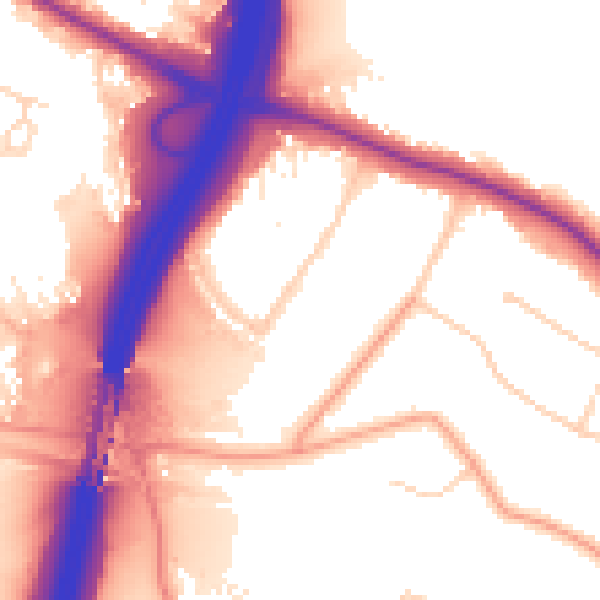
Daytime· 07:00 – 23:00
56.6dB

Night-time· 23:00 – 07:00
49.0dB