11 Chestnut Avenue, Rickmansworth, WD3 4HA
About 11 Chestnut Avenue
11 Chestnut Avenue is a detached house in Rickmansworth (WD3 4HA). It has a recorded floor area of 478 m² (around 5146 sq ft) and council tax band H. The latest certificate (June 2009) shows a D (score 65), on the cusp of jumping into the C band. Main heating runs on electricity: electricity, unspecified tariff. The latest certificate is from June 2009, so improvements made since then won't be reflected.
At 478 m² the property is well over the postcode median (201 m² across 16 EPCs), placing it in the larger end of the local stock. 11 planning records sit against the property, 4 approved, 4 refused. Past consents include an extension and partial demolition, meaningful when judging how the property has evolved.
Know exactly what you're buying at 11 Chestnut Avenue
Before you offer, see what the listing won't tell you, the true value, the red flags and the full history.
Valuation
against the asking price
Risks
planning & flood
Sold prices
similar homes nearby
Trends
the local market
Energy performance
11 Chestnut Avenue's carbon output runs well above what efficient homes in the postcode produce.
EPC Expired
This certificate is over 10 years old and is no longer valid.Expired 02 Jun 2019
EPC Rating
Planning history
Planning history includes recorded demolition works, indicating a major rebuild phase at this address.
- May 2020Tree WorksTreesIn report
Horse chestnut to be pollarded
- Documents
- 5 docs on file
- Reference
- 20/0455/TPO
- May 2017OutbuildingOutlineIn report
Certificate of Lawfulness Proposed Development: Construction of detached outbuilding
- Documents
- 9 docs on file
- Reference
- 17/0531/CLPD
What's in 11 Chestnut Avenue, Rickmansworth, WD3 4HA's planning history?
9 more on this property, plus refusals, disputes and full decisions nearby, in the report.
Sales history & valuation
11 Chestnut Avenue has no Land Registry sales on file, suggesting it has stayed in the same hands since registration began.
£3,595,000
Modelled from EPC, postcode comparables.
No sales recorded with HM Land Registry
That can mean the property has never traded since the registry began publishing in 1995, was a new build that hasn't been registered yet, or is held in the same hands long-term.
Median price across the last 5 sales in WD3 4HA: £1,470,000 (2023–2021).
Nearby sales in WD3 4HA
41 Chestnut Avenue, Rickmansworth, WD3 4HA
Sold Jan 2023
£1,180,00031 Chestnut Avenue, Rickmansworth, WD3 4HA
Sold Nov 2021
£1,710,00025 Chestnut Avenue, Rickmansworth, WD3 4HA
Sold Mar 2021
£1,510,00049 Chestnut Avenue, Rickmansworth, WD3 4HA
Sold Feb 2021
£980,00035 Chestnut Avenue, Rickmansworth, WD3 4HA
Sold Feb 2021
£1,470,000
Everything we know about 11 Chestnut Avenue, in one report
What it's really worth, what could be wrong, and the planning, sales and area data in full.
- Am I paying too much?
- Is something wrong with it?
- Is the agent's story true?
- Will it hold its value?

Versus other Chestnut Avenue homes
On floor area, 11 Chestnut Avenue stands well clear of the street.
EPC Rating
65 (D)
Street avg 61 (D)
Floor Area
478 m²
Street avg 228 m²
CO₂ Emissions
7.9 t/year
Street avg 8.5 t/year
Similar properties nearby
1 Hayward Copse, Loudwater
WD3 4GX
1 Lower Plantation, Loudwater
WD3 4PQ
1 High Close
WD3 4DZ
1 Armitage Close, Loudwater
WD3 4HL
1 Goosefields
WD3 4BE
1 Spencer Walk
WD3 4EE
1 Greenhills Close
WD3 4BW
1 Hillpoint, Loudwater
WD3 4HW
The neighbourhood at a glance
Crime
8/mo
Steady year-on-year across the wider district.
Nearest stop
0.3 km
The Clump — bus stop.
Closest school
0.7 km
Arnett Hills Junior Mixed and Infant School. 14 schools nearby.
Go deeper on the local area
The full report breaks down crime, transport links, schools and air quality in depth.
Road noise across the postcode
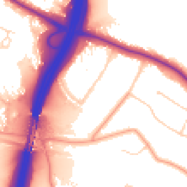
Daytime· 07:00 – 23:00
56.6dB

Night-time· 23:00 – 07:00
49.0dB