Flat 2, 24 Sheepcot Lane, Watford, WD25 0DH
About Flat 2
Flat 2 is a semi-detached house in Watford (WD25 0DH). It has a recorded floor area of 44 m² (around 474 sq ft) and construction records dating it to 1930-1949. The latest certificate (June 2019) shows a D (score 63), on the cusp of jumping into the C band. Earlier certificates rated it C (May 2009); the latest reading is one band lower. Between certificates, lighting went from Very Poor to Very Good; while wall efficiency dropped from Good to Very Poor and window efficiency dropped from Good to Average. The recommended improvements would push it to C (score 74).
At 44 m² it sits well below the postcode median (96 m² across 5 EPCs), making it one of the more compact homes locally. Today's modelled estimate of £219,000 is 21.7% above the 2022 sale price. Sold January 2022 for £180,000. That sale was during the post-pandemic price surge, when transactions cleared materially above pre-2020 trend.
Everything you need to know about Flat 2
The true value, the hidden risks and the full sale history, in one report.
30-day money-back guarantee

The data behind every report


Energy performance
EPC Rating
Property Improvements
Changes detected from historical EPC data
Hot water efficiency decreased
More low energy lighting installed
Planning history
Flat 2 has no planning applications on record.
Notable planning nearby
2applications of note in the surrounding area
Sales history & valuation
Latest sale on Flat 2 was the lowest on Land Registry record across the postcode.
£219,000
Modelled from EPC, postcode comparables.
£180,000
Recorded with HM Land Registry.
Sales timeline
21 January 2022Most recent
£180,000
Median price across the last 5 sales in WD25 0DH: £365,000 (2025–2011).
Nearby sales in WD25 0DH
Everything you need to know about Flat 2
The true value, the hidden risks and the full sale history, in one report.
30-day money-back guarantee
The data behind every report
Similar properties nearby
Chalkdell House, Flat 25, 42 Loweswater Close
WD25 0TA
Chalkdell House, Flat 5, 42 Loweswater Close
WD25 0TA
Chalkdell House, Flat 23, 42 Loweswater Close
WD25 0TA
Chalkdell House, Flat 15, 42 Loweswater Close
WD25 0TA
Chalkdell House, Flat 6, 42 Loweswater Close
WD25 0TA
Chalkdell House, Flat 13, 42 Loweswater Close
WD25 0TA
Chalkdell House, Flat 26, 42 Loweswater Close
WD25 0TA
Chalkdell House, Flat 24, 42 Loweswater Close
WD25 0TA
The neighbourhood at a glance
Rail-style transport is unusually close for this postcode.
Crime
4/mo
Steady year-on-year across the wider district.
Nearest stop
0.1 km
St Albans Road — bus stop.
Closest school
0.6 km
The Grove Academy. 24 schools nearby.
Go deeper on the local area
The full report breaks down crime, transport links, schools and air quality in depth.
Road noise across the postcode
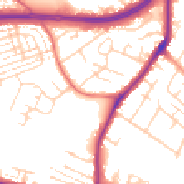
Daytime· 07:00 – 23:00
53.2dB

Night-time· 23:00 – 07:00
44.9dB