Flat 1, 29 Purbrock Avenue, Watford, WD25 0AD
About Flat 1
Flat 1 is a detached house in Watford (WD25 0AD). It has a recorded floor area of 64 m² (around 689 sq ft) and construction records dating it to 1930-1949. The latest certificate (May 2019) shows a C (score 69), just inside the C band.
At 64 m² it sits well below the postcode median (97 m² across 28 EPCs), making it one of the more compact homes locally. Its energy rating outperforms most of the postcode (better than 86% of similar EPCs).
Everything you need to know about Flat 1
The true value, the hidden risks and the full sale history, in one report.
30-day money-back guarantee

The data behind every report


Energy performance
EPC Rating
Planning history
Flat 1 has no planning applications on record.
Notable planning nearby
2applications of note in the surrounding area
Sales history & valuation
Flat 1 has no Land Registry sales on file, suggesting it has stayed in the same hands since registration began.
£348,000
Modelled from EPC, postcode comparables.
No sales recorded with HM Land Registry
That can mean the property has never traded since the registry began publishing in 1995, was a new build that hasn't been registered yet, or is held in the same hands long-term.
Median price across the last 5 sales in WD25 0AD: £530,000 (2025–2022).
Nearby sales in WD25 0AD
Versus other Purbrock Avenue homes
On floor area, Flat 1 stands well clear of the street.
EPC Rating
69 (C)
Street avg 59 (D)
Floor Area
64 m²
Street avg 49 m²
CO₂ Emissions
2.5 t/year
Street avg 2.9 t/year
Habitable Rooms
3 rooms
Street avg 3 rooms
Everything you need to know about Flat 1
The true value, the hidden risks and the full sale history, in one report.
30-day money-back guarantee
The data behind every report
Similar properties nearby
Chalkdell House, Flat 28, 42 Loweswater Close
WD25 0TA
Chalkdell House, Flat 17, 42 Loweswater Close
WD25 0TA
Chalkdell House, Flat 1, 42 Loweswater Close
WD25 0TA
Chalkdell House, Flat 7, 42 Loweswater Close
WD25 0TA
Chalkdell House, Flat 11, 42 Loweswater Close
WD25 0TA
Chalkdell House, Flat 2, 42 Loweswater Close
WD25 0TA
Chalkdell House, Flat 16, 42 Loweswater Close
WD25 0TA
Chalkdell House, Flat 12, 42 Loweswater Close
WD25 0TA
The neighbourhood at a glance
Rail-style transport is unusually close for this postcode.
Crime
4/mo
Steady year-on-year across the wider district.
Nearest stop
0.2 km
Library — bus stop.
Closest school
0.5 km
Parkgate Infants' and Nursery School. 28 schools nearby.
Go deeper on the local area
The full report breaks down crime, transport links, schools and air quality in depth.
Road noise across the postcode
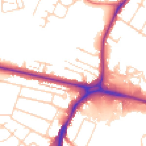
Daytime· 07:00 – 23:00
52.9dB

Night-time· 23:00 – 07:00
44.2dB