3 Southwold Road, Watford, WD24 7DP
About 3 Southwold Road
3 Southwold Road is a three-bedroom mid-terrace house in Watford (WD24 7DP). It has a recorded floor area of 68 m² (around 732 sq ft), construction records dating it to before 1900 and council tax band C. The latest certificate (November 2019) shows a D (score 64), on the cusp of jumping into the C band. The recommended improvements would lift it to B (score 85), a 2-band jump. Other recorded features include a loft. Period features are noted in the property record.
Held since February 2010 — that's 16 years off the open market, well above the local norm. Across 2000–2010, sale prices on this property compounded at 6.2% per year. Today's modelled estimate of £405,000 sits 91% above the 2010 sale of £212,000.
What this property has
Inside
- Bedrooms3
- Bathrooms2
- Dining roomYes
- EnsuiteYes
- LoftYes
Building
- Central heatingYes
- Period featuresYes
Everything you need to know about 3 Southwold Road
The true value, the hidden risks and the full sale history, in one report.
30-day money-back guarantee

The data behind every report


Energy performance
Recommended upgrades on file would lift this property by multiple EPC bands.
EPC Rating
Planning history
3 Southwold Road has no planning applications on record.
Notable planning nearby
3applications of note in the surrounding area
We flagged 1 thing worth checking at 3 Southwold Road
Independent checks surfaced things a buyer would want to understand before offering. The report explains each one in full, with the underlying data and what to ask.
- Larger development activity nearby
30-day money-back guarantee
Sales history & valuation
3 Southwold Road's estimated value is more than triple its earliest registered sale price (2000).
£405,000
Modelled from EPC, postcode comparables and a sale-price growth of 6.2% per year over 10 years.
£212,000
Growth on file: 6.2% per year over 10 years.
Sales timeline
26 February 2010Most recent
£212,000
+33.8%over 7 years11 November 2002
£158,500
+34.9%over 2 years19 April 2000
£117,500
Median price across the last 5 sales in WD24 7DP: £350,000 (2025–2018).
Nearby sales in WD24 7DP
Versus other Southwold Road homes
Price per m² for 3 Southwold Road lags the street by a wide margin.
Price per m²
£3,118
Street avg £4,312
Floor Area
68 m²
Street avg 76 m²
Habitable Rooms
3 rooms
Street avg 4 rooms
CO₂ Emissions
3.1 t/year
Street avg 3.5 t/year
Everything you need to know about 3 Southwold Road
The true value, the hidden risks and the full sale history, in one report.
30-day money-back guarantee
The data behind every report
Similar properties nearby
1 Parkgate Road
WD24 7BS
1 Norfolk Avenue
WD24 7DZ
10 Neston Road
WD24 7BW
1 Woodmere Avenue
WD24 7LR
1 Northfield Gardens
WD24 7RF
1 Southwold Road
WD24 7DP
10 Hillrise Avenue
WD24 7NR
1 Munden Grove
WD24 7EF
The neighbourhood at a glance
Rail-style transport is unusually close for this postcode.
Crime
4/mo
Rising year-on-year across the wider district.
Nearest stop
0.1 km
Parkgate Road — bus stop.
Closest school
0.0 km
Parkgate Junior School. 32 schools nearby.
Go deeper on the local area
The full report breaks down crime, transport links, schools and air quality in depth.
Road noise across the postcode
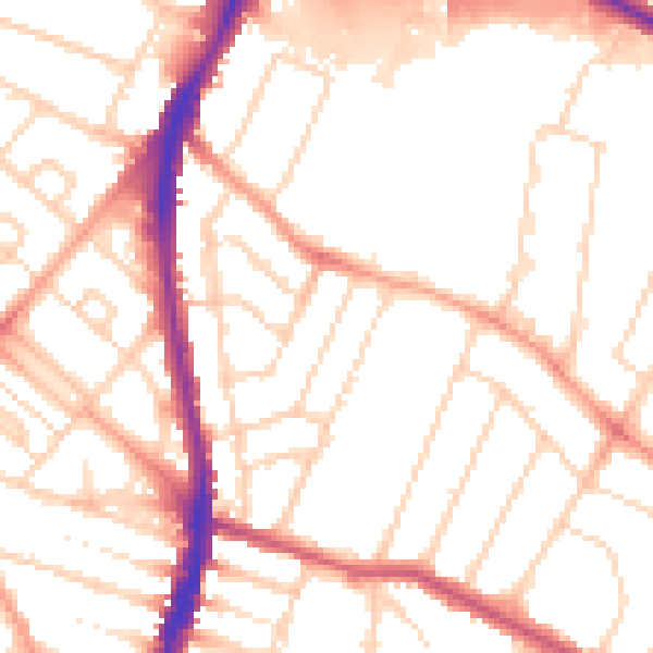
Daytime· 07:00 – 23:00
52.1dB

Night-time· 23:00 – 07:00
41.9dB