1 Elm Grove, Watford, WD24 5NB
About 1 Elm Grove
1 Elm Grove is a semi-detached house in Watford (WD24 5NB). It has a recorded floor area of 86 m² (around 926 sq ft), construction records dating it to 1900-1929 and council tax band D. The latest certificate (July 2015) shows an E (score 54), well below the UK norm with real room to improve. The rating has held steady at E across 2 certificates since July 2013. Between certificates, roof efficiency went from Very Poor to Average and lighting went from Good to Very Good. The recommended improvements would lift it to B (score 87), a 3-band jump. The latest certificate is from July 2015, so improvements made since then won't be reflected.
On energy efficiency it sits in the bottom 10% of properties in this postcode — significant headroom for improvement.
Everything you need to know about 1 Elm Grove
The true value, the hidden risks and the full sale history, in one report.
30-day money-back guarantee

The data behind every report


Energy performance
1 Elm Grove sits at the bottom of the postcode for energy efficiency — meaningful headroom to improve.
EPC Expired
This certificate is over 10 years old and is no longer valid.Expired 30 Jul 2025
EPC Rating
Property Improvements
Changes detected from historical EPC data
Heating controls changed
Roof insulation improved
More low energy lighting installed
Planning history
1 Elm Grove has no planning applications on record.
Notable planning nearby
3applications of note in the surrounding area
Sales history & valuation
1 Elm Grove has no Land Registry sales on file, suggesting it has stayed in the same hands since registration began.
£437,000
Modelled from EPC, postcode comparables.
No sales recorded with HM Land Registry
That can mean the property has never traded since the registry began publishing in 1995, was a new build that hasn't been registered yet, or is held in the same hands long-term.
Median price across the last 5 sales in WD24 5NB: £285,000 (2022–2000).
Versus other Elm Grove homes
EPC Rating for 1 Elm Grove lags the street by a wide margin.
EPC Rating
54 (E)
Street avg 66 (D)
Floor Area
86 m²
Street avg 94 m²
CO₂ Emissions
5.2 t/year
Street avg 3.8 t/year
Habitable Rooms
6 rooms
Street avg 5 rooms
Everything you need to know about 1 Elm Grove
The true value, the hidden risks and the full sale history, in one report.
30-day money-back guarantee
The data behind every report
Similar properties nearby
The neighbourhood at a glance
Reported crime in the wider district is trending notably upward year-on-year.
Crime
4/mo
Rising year-on-year across the wider district.
Nearest stop
0.1 km
Leggatts Way — bus stop.
Closest school
0.2 km
Beechfield School. 32 schools nearby.
Go deeper on the local area
The full report breaks down crime, transport links, schools and air quality in depth.
Road noise across the postcode
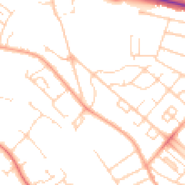
Daytime· 07:00 – 23:00
48.7dB

Night-time· 23:00 – 07:00
38.5dB