Flat 1, 215 St Albans Road, Watford, WD24 5BH
About Flat 1
Flat 1 is a semi-detached house in Watford (WD24 5BH). It has a recorded floor area of 33 m² (around 355 sq ft), construction records dating it to 1900-1929 and council tax band B. At 33 m² this is the smallest unit on EPC record across the building (33–41 m²). The building's EPC ratings span E to D, with this unit at the bottom. The latest certificate (December 2024) shows an E (score 50), well below the UK norm with real room to improve. The rating has held steady at E across 2 certificates since December 2013. Between certificates, wall efficiency went from Very Poor to Poor and lighting went from Very Poor to Very Good; while window efficiency dropped from Good to Average. The recommended improvements would push it to D (score 56). Main heating runs on electricity.
At 33 m² it sits well below the postcode median (48 m² across 29 EPCs), making it one of the more compact homes locally. Across 2012–2019, sale prices on this property compounded at 10.3% per year. On a £-per-square-foot basis, the last sale (£591/sq ft) was about 106.2% above the typical sold price in the postcode. Sold September 2019 for £210,000.
Everything you need to know about Flat 1
The true value, the hidden risks and the full sale history, in one report.
30-day money-back guarantee

The data behind every report


Energy performance
EPC Rating
Property Improvements
Changes detected from historical EPC data
Heating controls upgraded for better temperature management
Wall insulation improved
More low energy lighting installed
Planning history
Flat 1 has no planning applications on record.
Notable planning nearby
3applications of note in the surrounding area
Sales history & valuation
Sale price has at least doubled since 2012.
£192,000
Modelled from EPC, postcode comparables and a sale-price growth of 10.3% per year over 7 years.
£210,000
Growth on file: 10.3% per year over 7 years.
Sales timeline
15 September 2019Most recent
£210,000
+23.5%over 3 years8 August 2016
£170,000
+68.3%over 4 years16 March 2012
£101,000
Median price across the last 5 sales in WD24 5BH: £195,000 (2023–2015).
Nearby sales in WD24 5BH
227a, St Albans Road, Watford, WD24 5BH
Sold Apr 2023
£750,000193a, St Albans Road, Watford, WD24 5BH
Sold Nov 2021
£195,000221a, St Albans Road, Watford, WD24 5BH
Sold Mar 2020
£215,000211b, St Albans Road, Watford, WD24 5BH
Sold Jun 2015
£149,950Flat 2, 215 St Albans Road, Watford, WD24 5BH
Sold Aug 2011
£110,000
Versus other St Albans Road homes
On price per m², Flat 1 stands well clear of the street.
Price per m²
£6,364
Street avg £3,226
Floor Area
33 m²
Street avg 64 m²
Habitable Rooms
2 rooms
Street avg 3 rooms
CO₂ Emissions
2.5 t/year
Street avg 3.7 t/year
Everything you need to know about Flat 1
The true value, the hidden risks and the full sale history, in one report.
30-day money-back guarantee
The data behind every report
Similar properties nearby
229b, Flat 3, St Albans Road
WD24 5BQ
229b, Flat 2, St Albans Road
WD24 5BQ
Beall Court 2a, Flat 9, Dodd Road
WD24 5FL
Beall Court 2a, Flat 10, Dodd Road
WD24 5FL
Beall Court 2a, Flat 11, Dodd Road
WD24 5FL
Beall Court 2a, Flat 12, Dodd Road
WD24 5FL
Beall Court 2a, Flat 13, Dodd Road
WD24 5FL
Beall Court 2a, Flat 14, Dodd Road
WD24 5FL
The neighbourhood at a glance
Rail-style transport is unusually close for this postcode.
Crime
4/mo
Rising year-on-year across the wider district.
Nearest stop
0.1 km
Regent Street — bus stop.
Closest school
0.7 km
Parkgate Junior School. 33 schools nearby.
Go deeper on the local area
The full report breaks down crime, transport links, schools and air quality in depth.
Road noise across the postcode
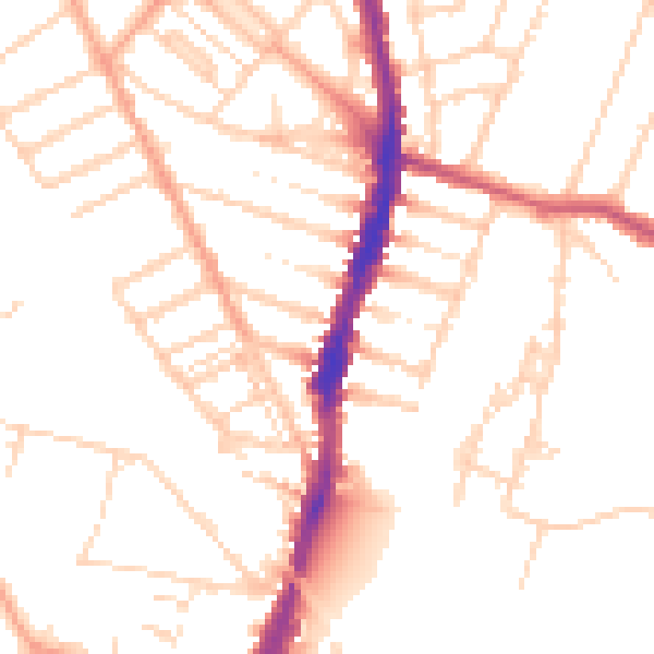
Daytime· 07:00 – 23:00
50.4dB

Night-time· 23:00 – 07:00
40.5dB