225a, St Albans Road, Watford, WD24 5BH
About 225a
225a is a mid-terrace house in Watford (WD24 5BH). It has a recorded floor area of 72 m² (around 775 sq ft), construction records dating it to 1900-1929 and council tax band C. The latest certificate (August 2023) shows a D (score 63), on the cusp of jumping into the C band. The rating has held steady at D across 2 certificates since August 2013. Between certificates, roof efficiency went from Good to Very Good, window efficiency went from Poor to Good and lighting went from Good to Very Good. The recommended improvements would push it to C (score 74). At 72 m² this is the 23rd smallest of 30 units on EPC record in the building, where floor areas span 32–246 m². The building's EPC ratings span E to B across 30 units on file.
It hasn't traded since January 1999, a hold of 27 years that's notably long for the area. Only one transfer is on record with HM Land Registry, suggesting it has stayed in the same hands for a long time. At 72 m² the property is well over the postcode median (44 m² across 29 EPCs), placing it in the larger end of the local stock. Today's modelled estimate of £329,000 sits 265.6% above the 1999 sale of £90,000. On a £-per-square-foot basis, the last sale (£116/sq ft) was about 61.2% below the postcode norm.
Everything you need to know about 225a
The true value, the hidden risks and the full sale history, in one report.
30-day money-back guarantee

The data behind every report


Energy performance
EPC Rating
Property Improvements
Changes detected from historical EPC data
Windows upgraded, improving insulation
Roof insulation improved
More low energy lighting installed
Planning history
225a has no planning applications on record.
Notable planning nearby
3applications of note in the surrounding area
Sales history & valuation
225a's estimated value is more than triple its earliest registered sale price (1999).
£329,000
Modelled from EPC, postcode comparables.
£90,000
Recorded with HM Land Registry.
Sales timeline
14 January 1999Most recent
£90,000
Median price across the last 5 sales in WD24 5BH: £210,000 (2023–2019).
Nearby sales in WD24 5BH
227a, St Albans Road, Watford, WD24 5BH
Sold Apr 2023
£750,000193a, St Albans Road, Watford, WD24 5BH
Sold Nov 2021
£195,000221a, St Albans Road, Watford, WD24 5BH
Sold Mar 2020
£215,000Flat 1, 215 St Albans Road, Watford, WD24 5BH
Sold Sept 2019
£210,000211b, St Albans Road, Watford, WD24 5BH
Sold Jun 2015
£149,950
Versus other St Albans Road homes
On price per m², 225a runs well behind the street norm.
Price per m²
£1,250
Street avg £3,619
Floor Area
72 m²
Street avg 63 m²
Habitable Rooms
3 rooms
Street avg 3 rooms
CO₂ Emissions
3.5 t/year
Street avg 3.6 t/year
Everything you need to know about 225a
The true value, the hidden risks and the full sale history, in one report.
30-day money-back guarantee
The data behind every report
Similar properties nearby
1 Milton Street
WD24 5EU
1 Chatsworth Mews, Diamond Road
WD24 5HD
1 Leaford Crescent
WD24 5JQ
1 Goodwood Avenue
WD24 5LA
1 Desmond Road
WD24 5LH
1 Judge Street
WD24 5AN
1 Diamond Road
WD24 5EN
1 Leavesden Road
WD24 5EB
The neighbourhood at a glance
Rail-style transport is unusually close for this postcode.
Crime
4/mo
Rising year-on-year across the wider district.
Nearest stop
0.1 km
Regent Street — bus stop.
Closest school
0.7 km
Parkgate Junior School. 33 schools nearby.
Go deeper on the local area
The full report breaks down crime, transport links, schools and air quality in depth.
Road noise across the postcode
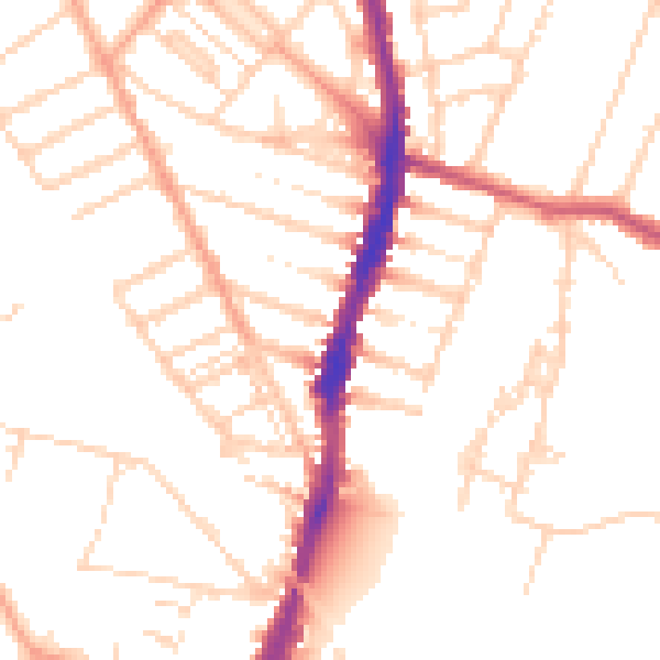
Daytime· 07:00 – 23:00
50.4dB

Night-time· 23:00 – 07:00
40.5dB