59 Balmoral Road, Watford, WD24 4ES
About 59 Balmoral Road
59 Balmoral Road is a three-bedroom semi-detached house in Watford (WD24 4ES). It has a recorded floor area of 90 m² (around 969 sq ft), construction records dating it to 1930-1949 and council tax band D. The latest certificate (July 2022) shows a D (score 60), on the cusp of jumping into the C band. When first surveyed in September 2014 the rating was F, the property has climbed 2 bands since. Between certificates, hot-water efficiency went from Average to Good, lighting went from Good to Very Good and main heating went from Average to Good; while roof efficiency dropped from Poor to Very Poor. The recommended improvements would lift it to B (score 83), a 2-band jump.
10 planning records sit against the property, 2 approved, 5 refused. Past consents include an extension and a loft conversion, meaningful when judging how the property has evolved. At 90 m² it's 24.1% larger than the typical home in the postcode (73 m² median across 8 EPCs). Across 2015–2017, sale prices on this property compounded at 9.3% per year. Today's modelled estimate of £522,000 is 18.6% above the 2017 sale price. On a £-per-square-foot basis, the last sale (£454/sq ft) was about 51.8% above the typical sold price in the postcode. Last changed hands 9 years ago, in November 2017.
Know exactly what you're buying at 59 Balmoral Road
Before you offer, see what the listing won't tell you, the true value, the red flags and the full history.
Already flagged here
Valuation
against the asking price
Risks
planning & flood
Sold prices
similar homes nearby
Trends
the local market
What this property has
Inside
- Bedrooms3
- Bathrooms1
Energy performance
Recommended upgrades on file would lift this property by multiple EPC bands.
EPC Rating
Property Improvements
Changes detected from historical EPC data
Heating controls upgraded for better temperature management
Hot water system upgraded
More low energy lighting installed
Planning history
A a porch application was refused at 59 Balmoral Road in 2024.
- Jan 2025PorchFullIn report
Erection of a front porch at ground level and a side extension on the first floor with a pitched roof.
Extension- Documents
- 16 docs on file
- Reference
- 24/01021/FULH
- Jun 2024PorchFullIn report
Extension: Single storey
Erection of a front porch, side extension and first floor rear extension.
Extension- Documents
- 15 docs on file
- Reference
- 24/00351/FULH
We flagged 2 things worth checking at 59 Balmoral Road
Independent checks surfaced things a buyer would want to understand before offering. The report explains each one in full, with the underlying data and what to ask.
- Larger development activity nearby
- A planning decision worth checking
30-day money-back guarantee
Sales history & valuation
Latest sale on 59 Balmoral Road was the highest on Land Registry record across the postcode.
£522,000
Modelled from EPC, postcode comparables and a sale-price growth of 9.3% per year over 2 years.
£440,000
Growth on file: 9.3% per year over 2 years.
Sales timeline
3 November 2017Most recent
£440,000
+22.9%over 2 years7 July 2015
£358,000
Median price across the last 5 sales in WD24 4ES: £230,000 (2015–2005).
Nearby sales in WD24 4ES
Everything we know about 59 Balmoral Road, in one report
What it's really worth, what could be wrong, and the planning, sales and area data in full.
What we flagged
- Larger development activity nearby
- A planning decision worth checking

Versus other Balmoral Road homes
Years Held for 59 Balmoral Road lags the street by a wide margin.
Price per m²
£4,889
Street avg £3,353
Floor Area
90 m²
Street avg 82 m²
Habitable Rooms
6 rooms
Street avg 5 rooms
CO₂ Emissions
4.4 t/year
Street avg 4.2 t/year
Similar properties nearby
1 Byron Avenue
WD24 4HT
10 Brixton Road
WD24 4DX
1 Balmoral Road
WD24 4ER
10 Balmoral Road
WD24 4EP
10 Bradshaw Road
WD24 4DE
10 Byron Avenue
WD24 4HT
1 Ellenbrook Close
WD24 4DP
1 Salisbury Road
WD24 4DT
The neighbourhood at a glance
Rail-style transport is unusually close for this postcode.
Crime
4/mo
Rising year-on-year across the wider district.
Nearest stop
0.2 km
Imperial Park — bus stop.
Closest school
0.3 km
Knutsford Primary Academy. 34 schools nearby.
Go deeper on the local area
The full report breaks down crime, transport links, schools and air quality in depth.
Road noise across the postcode
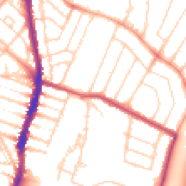
Daytime· 07:00 – 23:00
52.0dB

Night-time· 23:00 – 07:00
41.8dB