16 Clitheroe Gardens, Watford, WD19 6RP
About 16 Clitheroe Gardens
16 Clitheroe Gardens is a mid-terrace house in Watford (WD19 6RP). It has a recorded floor area of 57 m² (around 614 sq ft), construction records dating it to 1950-1966 and council tax band C. The latest certificate (February 2021) shows a C (score 72). When first surveyed in March 2012 the rating was D, the property has climbed 1 band since. Between certificates, roof efficiency went from Very Poor to Average and lighting went from Poor to Very Good. At 57 m² this is the 26th smallest of 27 units on EPC record in the building, where floor areas span 34–77 m². The building's EPC ratings span D to B across 27 units on file.
At 57 m² the property is well over the postcode median (36 m² across 26 EPCs), placing it in the larger end of the local stock. One historical planning record sits against the property in 2011.
Everything you need to know about 16 Clitheroe Gardens
The true value, the hidden risks and the full sale history, in one report.
30-day money-back guarantee

The data behind every report


Energy performance
EPC Rating
Property Improvements
Changes detected from historical EPC data
Roof insulation improved
More low energy lighting installed
Planning history
- Oct 2011ConditionsIn report
Discharge of Conditions 2 and 12 pursuant to Planning Permission 09/0204/FUL
- Agent
- John Floydd and Associates
- Documents
- 18 docs on file
- Reference
- 11/1773/DIS
We flagged 1 thing worth checking at 16 Clitheroe Gardens
Independent checks surfaced things a buyer would want to understand before offering. The report explains each one in full, with the underlying data and what to ask.
- Larger development activity nearby
30-day money-back guarantee
Sales history & valuation
16 Clitheroe Gardens has no Land Registry sales on file, suggesting it has stayed in the same hands since registration began.
£234,000
Modelled from EPC, postcode comparables.
No sales recorded with HM Land Registry
That can mean the property has never traded since the registry began publishing in 1995, was a new build that hasn't been registered yet, or is held in the same hands long-term.
Versus other Clitheroe Gardens homes
EPC Rating for 16 Clitheroe Gardens runs comfortably ahead of the street norm.
EPC Rating
72 (C)
Street avg 64 (D)
Floor Area
57 m²
Street avg 49 m²
CO₂ Emissions
2.0 t/year
Street avg 2.5 t/year
Habitable Rooms
2 rooms
Street avg 2 rooms
Everything you need to know about 16 Clitheroe Gardens
The true value, the hidden risks and the full sale history, in one report.
30-day money-back guarantee
The data behind every report
Similar properties nearby
The neighbourhood at a glance
Rail-style transport is unusually close for this postcode.
Crime
4/mo
Steady year-on-year across the wider district.
Nearest stop
0.1 km
Birstal Green — bus stop.
Closest school
0.3 km
Oxhey Wood Primary School. 25 schools nearby.
Go deeper on the local area
The full report breaks down crime, transport links, schools and air quality in depth.
Road noise across the postcode
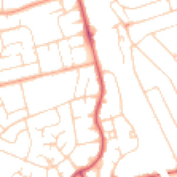
Daytime· 07:00 – 23:00
49.5dB

Night-time· 23:00 – 07:00
38.9dB