22 St James Road, Watford, WD18 0EA
About 22 St James Road
22 St James Road is a mid-terrace house in Watford (WD18 0EA). It has a recorded floor area of 90 m² (around 969 sq ft), construction records dating it to 1900-1929 and council tax band D. The latest certificate (March 2024) shows an E (score 54), well below the UK norm with real room to improve. Earlier certificates rated it D (June 2009); the latest reading is one band lower. Between certificates, lighting went from Average to Very Good; while roof efficiency dropped from Good to Very Poor. The recommended improvements would lift it to C (score 77), a 2-band jump.
Held since November 2006 — that's 20 years off the open market, well above the local norm. Across 1997–2006, sale prices on this property compounded at 11.2% per year. Today's modelled estimate of £373,000 sits 126.1% above the 2006 sale of £165,000. On a £-per-square-foot basis, the last sale (£170/sq ft) was about 18% above the typical sold price in the postcode. At 90 m² it's 18.9% smaller than the typical home in the postcode (111 m² median across 10 EPCs). It lags the bulk of the postcode on energy efficiency (less efficient than 80% of similar EPCs).
Know exactly what you're buying at 22 St James Road
Before you offer, see what the listing won't tell you, the true value, the red flags and the full history.
Already flagged here
Valuation
against the asking price
Risks
planning & flood
Sold prices
similar homes nearby
Trends
the local market
Energy performance
Recommended upgrades on file would lift this property by multiple EPC bands.
EPC Rating
Property Improvements
Changes detected from historical EPC data
More low energy lighting installed
Planning history
22 St James Road has no planning applications on record.
Notable planning nearby
7applications of note in the surrounding area
We flagged 1 thing worth checking at 22 St James Road
Independent checks surfaced things a buyer would want to understand before offering. The report explains each one in full, with the underlying data and what to ask.
- Signs of HMO activity in the area
30-day money-back guarantee
Sales history & valuation
22 St James Road has more than doubled in price since the earliest registered sale in 1997.
£373,000
Modelled from EPC, postcode comparables and a sale-price growth of 11.2% per year over 10 years.
£165,000
Growth on file: 11.2% per year over 10 years.
Sales timeline
27 November 2006Most recent
£165,000
+200.0%over 7 years11 August 1999
£55,000
-8.3%over 2 years8 May 1997
£59,950
Median price across the last 5 sales in WD18 0EA: £280,000 (2022–2013).
Nearby sales in WD18 0EA
Everything we know about 22 St James Road, in one report
What it's really worth, what could be wrong, and the planning, sales and area data in full.
What we flagged
- Signs of HMO activity in the area

Versus other St James Road homes
On floor area, 22 St James Road runs well behind the street norm.
Price per m²
£1,833
Street avg £2,453
Floor Area
90 m²
Street avg 116 m²
Habitable Rooms
5 rooms
Street avg 6 rooms
CO₂ Emissions
5.4 t/year
Street avg 5.2 t/year
Similar properties nearby
1 Addison Court, St Marys View
WD18 0GR
1 Cannon Road
WD18 0BB
1 Beaumont Place, Brightwell Road
WD18 0AJ
1 Holywell Road
WD18 0HT
1 Durban Road East
WD18 0RN
1 Addiscombe Road
WD18 0ND
1 Cardiff Road
WD18 0DS
1 Clark Mews
WD18 0HG
The neighbourhood at a glance
Rail-style transport is unusually close for this postcode.
Crime
8/mo
Steady year-on-year across the wider district.
Nearest stop
0.1 km
The Hornets — bus stop.
Closest school
0.2 km
Watford Grammar School for Girls. 36 schools nearby.
Go deeper on the local area
The full report breaks down crime, transport links, schools and air quality in depth.
Road noise across the postcode
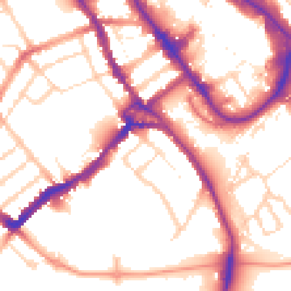
Daytime· 07:00 – 23:00
54.2dB

Night-time· 23:00 – 07:00
44.8dB