71 Cardiff Road, Watford, WD18 0DS
About 71 Cardiff Road
71 Cardiff Road is a semi-detached house in Watford (WD18 0DS). It has a recorded floor area of 45 m² (around 484 sq ft), construction records dating it to 1900-1929 and council tax band B. At 45 m² this is the 5th smallest of 28 units on EPC record in the building, where floor areas span 37–135 m². The building's EPC ratings span E to C across 28 units on file. The latest certificate (July 2020) shows a D (score 67), on the cusp of jumping into the C band. The recommended improvements would push it to C (score 77).
At 45 m² it sits well below the postcode median (73 m² across 27 EPCs), making it one of the more compact homes locally. Across 1998–2022, sale prices on this property compounded at 5.7% per year. Today's modelled estimate of £219,000 is 21.7% above the 2022 sale price. On a £-per-square-foot basis, the last sale (£372/sq ft) was about 53.8% above the typical sold price in the postcode. Most recent transfer: May 2022 at £180,000. That sale was during the post-pandemic price surge, when transactions cleared materially above pre-2020 trend.
Know exactly what you're buying at 71 Cardiff Road
Before you offer, see what the listing won't tell you, the true value, the red flags and the full history.
Already flagged here
Valuation
against the asking price
Risks
planning & flood
Sold prices
similar homes nearby
Trends
the local market
Energy performance
EPC Rating
Planning history
71 Cardiff Road has no planning applications on record.
Notable planning nearby
7applications of note in the surrounding area
We flagged 1 thing worth checking at 71 Cardiff Road
Independent checks surfaced things a buyer would want to understand before offering. The report explains each one in full, with the underlying data and what to ask.
- Signs of HMO activity in the area
30-day money-back guarantee
Sales history & valuation
71 Cardiff Road has more than tripled in price since its earliest registered sale in 1998.
£219,000
Modelled from EPC, postcode comparables and a sale-price growth of 5.7% per year over 24 years.
£180,000
Growth on file: 5.7% per year over 24 years.
Sales timeline
18 May 2022Most recent
£180,000
+161.1%over 21 years26 March 2001
£68,950
+42.2%over 2 years16 September 1998
£48,500
Median price across the last 5 sales in WD18 0DS: £315,000 (2025–2024).
Nearby sales in WD18 0DS
Everything we know about 71 Cardiff Road, in one report
What it's really worth, what could be wrong, and the planning, sales and area data in full.
What we flagged
- Signs of HMO activity in the area

Versus other Cardiff Road homes
71 Cardiff Road is notably below the street on years held.
Price per m²
£4,000
Street avg £4,185
Floor Area
45 m²
Street avg 54 m²
Habitable Rooms
2 rooms
Street avg 3 rooms
CO₂ Emissions
2.2 t/year
Street avg 2.4 t/year
Similar properties nearby
1 Brightwell Road
WD18 0HR
1 Holyrood Court, Marlborough Road
WD18 0QX
1 Ballinger Court, Halsey Road
WD18 0JR
1 Christie Court
WD18 0LA
1 Benskin Road
WD18 0HN
1 Holm Oak Park, Hagden Lane
WD18 0XP
1 Crakers Mead, Rosslyn Road
WD18 0JZ
1 Bridgeford House, Cassio Road
WD18 0QR
The neighbourhood at a glance
Rail-style transport is unusually close for this postcode.
Crime
8/mo
Steady year-on-year across the wider district.
Nearest stop
0.3 km
Lammas Road — bus stop.
Closest school
0.2 km
Field Junior School. 36 schools nearby.
Go deeper on the local area
The full report breaks down crime, transport links, schools and air quality in depth.
Road noise across the postcode
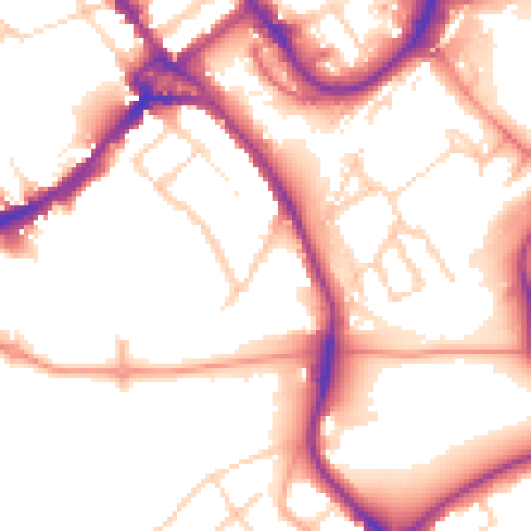
Daytime· 07:00 – 23:00
53.8dB

Night-time· 23:00 – 07:00
44.6dB