23 Cardiff Road, Watford, WD18 0DS
About 23 Cardiff Road
23 Cardiff Road is a two-bedroom property in Watford (WD18 0DS). It has council tax band C.
Untraded for 25 years, with the last transfer in April 2001. Across 1997–2001, sale prices on this property compounded at 12.9% per year.
Know exactly what you're buying at 23 Cardiff Road
Before you offer, see what the listing won't tell you, the true value, the red flags and the full history.
Already flagged here
Valuation
against the asking price
Risks
planning & flood
Sold prices
similar homes nearby
Trends
the local market
What this property has
Inside
- Bedrooms2
- EnsuiteYes
- StudyYes
Outside
- Private gardenYes
Building
- Heating systemGas
Energy performance
No EPC on record
This property doesn't have an Energy Performance Certificate yet. An EPC is required to sell or let — and unlocks our automated valuation.
Planning history
23 Cardiff Road has no planning applications on record.
Notable planning nearby
7applications of note in the surrounding area
We flagged 1 thing worth checking at 23 Cardiff Road
Independent checks surfaced things a buyer would want to understand before offering. The report explains each one in full, with the underlying data and what to ask.
- Signs of HMO activity in the area
30-day money-back guarantee
Sales history & valuation
£103,000
Growth on file: 12.9% per year over 3 years.
Sales timeline
19 April 2001Most recent
£103,000
+51.5%over 3 years20 November 1997
£68,000
Median price across the last 5 sales in WD18 0DS: £315,000 (2025–2024).
Nearby sales in WD18 0DS
Everything we know about 23 Cardiff Road, in one report
What it's really worth, what could be wrong, and the planning, sales and area data in full.
What we flagged
- Signs of HMO activity in the area

Similar properties nearby
1 Bridgeford House, Cassio Road
WD18 0QR
1 Farthing Close
WD18 0BT
1 Addison Court, St Marys View
WD18 0GR
1 Cannon Road
WD18 0BB
1 Holywell Road
WD18 0HT
1 Durban Road East
WD18 0RN
1 Cardiff Road
WD18 0DS
1 Chester Road
WD18 0RG
The neighbourhood at a glance
Rail-style transport is unusually close for this postcode.
Crime
8/mo
Steady year-on-year across the wider district.
Nearest stop
0.3 km
Lammas Road — bus stop.
Closest school
0.2 km
Field Junior School. 36 schools nearby.
Go deeper on the local area
The full report breaks down crime, transport links, schools and air quality in depth.
Road noise across the postcode
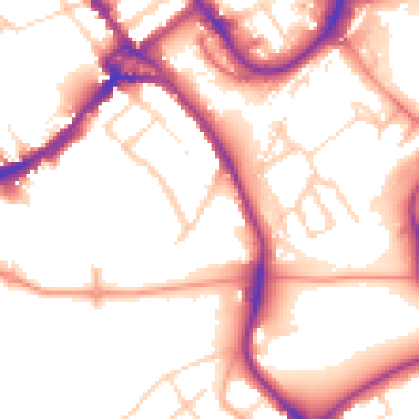
Daytime· 07:00 – 23:00
53.8dB

Night-time· 23:00 – 07:00
44.6dB