23 Balmoral Avenue, Lowton, Warrington, WA3 2ER
About 23 Balmoral Avenue
23 Balmoral Avenue is a three-bedroom semi-detached house in Lowton, Warrington, Warrington (WA3 2ER). It has a recorded floor area of 123 m² (around 1324 sq ft), construction records dating it to 1950-1966 and council tax band C. Tenure is freehold. The latest certificate (January 2026) shows a D (score 66), on the cusp of jumping into the C band. The recommended improvements would push it to C (score 76). This certificate was lodged in the last six months, so the rating reflects current condition.
Held since June 2001 — that's 25 years off the open market, well above the local norm. At 123 m² the property is well over the postcode median (80 m² across 12 EPCs), placing it in the larger end of the local stock. Today's modelled estimate of £125,000 sits 93.8% above the 2001 sale of £64,500. On a £-per-square-foot basis, the last sale (£49/sq ft) was about 69.7% below the postcode norm.
What this property has
Inside
- Bedrooms3
- Bathrooms2
- Dining roomYes
- CloakroomYes
Outside
- Private gardenRear
- GarageYes
Building
- TenureFreehold
Everything you need to know about 23 Balmoral Avenue
The true value, the hidden risks and the full sale history, in one report.
Pick your report · every report is £14.99
One time fee only - money back guarantee

The data behind every report


Energy performance
The EPC has just been inspected, so the rating reflects current condition.
EPC Rating
Get a survey for this property
Level 2 HomeBuyer Report
We've checked 10 risk factors against the available data for this property and believe a Level 2 HomeBuyer Report could be a suitable option for you.
From £495 · Includes VAT
Planning history
23 Balmoral Avenue has no planning applications on record.
A planning report still maps activity across the surrounding area and reads this property's extension & conversion potential.
Sales history & valuation
£125,000
Modelled from EPC, postcode comparables.
£64,500
Recorded with HM Land Registry.
Sales timeline
14 June 2001Most recent
£64,500
Median price across the last 5 sales in WA3 2ER: £222,500 (2025–2021).
Nearby sales in WA3 2ER
25 Balmoral Avenue, Lowton, Warrington, WA3 2ER
Sold May 2025
£265,00027 Balmoral Avenue, Lowton, Warrington, WA3 2ER
Sold Dec 2024
£222,50022 Balmoral Avenue, Lowton, Warrington, WA3 2ER
Sold Aug 2022
£230,00012 Balmoral Avenue, Lowton, Warrington, WA3 2ER
Sold Nov 2021
£200,00021 Balmoral Avenue, Lowton, Warrington, WA3 2ER
Sold Sept 2020
£189,995
Versus other Balmoral Avenue homes
On habitable rooms, 23 Balmoral Avenue stands well clear of the street.
Price per m²
£524
Street avg £2,036
Floor Area
123 m²
Street avg 87 m²
Habitable Rooms
7 rooms
Street avg 5 rooms
CO₂ Emissions
4.2 t/year
Street avg 3.8 t/year
Everything you need to know about 23 Balmoral Avenue
The true value, the hidden risks and the full sale history, in one report.
Pick your report · every report is £14.99
One time fee only - money back guarantee
The data behind every report
Similar properties nearby
1 Beech Avenue, Lowton
WA3 2BZ
1 Bourne Avenue, Lowton
WA3 2QB
1 Ballantyne Way, Lowton
WA3 2LS
1 Burnfell, Lowton
WA3 2QW
1 Bainbridge Avenue, Lowton
WA3 2DJ
1 Amis Grove, Lowton
WA3 2LL
1 Blackburn Close, Lowton
WA3 2NS
1 Ariel Walk, Lowton
WA3 2LN
The neighbourhood at a glance
Daytime road noise here sits well below conversation level — a quiet pocket of the postcode.
Crime
1/mo
Steady year-on-year across the wider district.
Nearest stop
0.1 km
Scott Road — bus stop.
Closest school
0.6 km
Lowton West Primary School. 11 schools nearby.
Go deeper on the local area
A Local Area report breaks down crime, transport links, schools and air quality in depth.
Road noise across the postcode
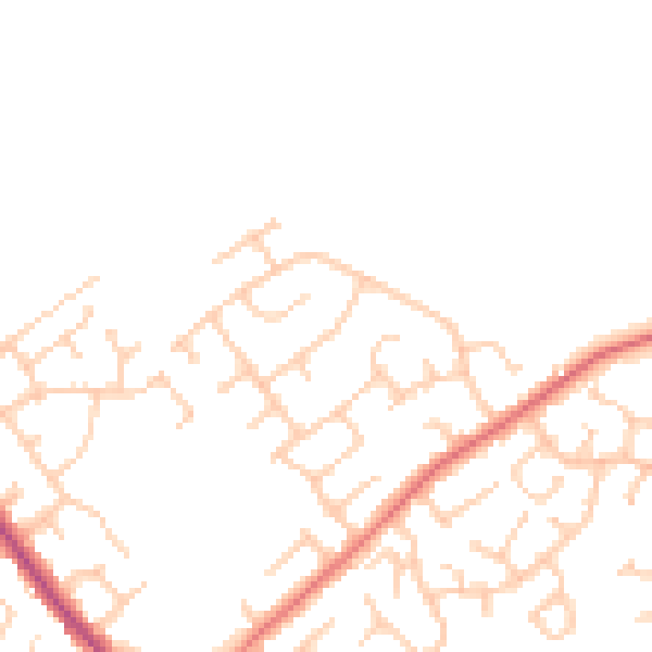
Daytime· 07:00 – 23:00
46.4dB

Night-time· 23:00 – 07:00
37.8dB