5 Greenfields Close, Woolston, Warrington, WA1 4NP
About 5 Greenfields Close
5 Greenfields Close is a two-bedroom semi-detached house in Woolston, Warrington, Warrington (WA1 4NP). It has a recorded floor area of 69 m² (around 742 sq ft), construction records dating it to 1950-1966 and council tax band C. The latest certificate (August 2010) shows a D (score 56), a step below the typical UK home. The recommended improvements would push it to C (score 76). The latest certificate is from August 2010, so improvements made since then won't be reflected.
Today's modelled estimate of £240,000 sits 71.1% above the 2011 sale of £140,250. On the market in July 2011 and unlisted since — roughly 15 years. One historical planning record sits against the property in 2011.
What this property has
Inside
- Bedrooms2
Everything you need to know about 5 Greenfields Close
The true value, the hidden risks and the full sale history, in one report.
30-day money-back guarantee

The data behind every report


Energy performance
5 Greenfields Close's EPC is over a decade old — improvements since won't be reflected.
EPC Expired
This certificate is over 10 years old and is no longer valid.Expired 17 Aug 2020
EPC Rating
Planning history
- Dec 2011Loft ConversionFullIn report
Extension: Side and rear of property
Proposed side and rear extensions including rooms in roofspace with juliet balcony and rear dormer window.
Extension- Documents
- 12 docs on file
- Reference
- 2011/18958
We flagged 1 thing worth checking at 5 Greenfields Close
Independent checks surfaced things a buyer would want to understand before offering. The report explains each one in full, with the underlying data and what to ask.
- Larger development activity nearby
30-day money-back guarantee
Sales history & valuation
5 Greenfields Close valuation sits well clear of the typical sold price in this postcode.
£240,000
Modelled from EPC, postcode comparables.
£140,250
Recorded with HM Land Registry.
Sales timeline
21 July 2011Most recent
£140,250
Median price across the last 4 sales in WA1 4NP: £151,000 (2012–2003).
Versus other Greenfields Close homes
Habitable Rooms for 5 Greenfields Close lags the street by a wide margin.
EPC Rating
56 (D)
Street avg 66 (D)
Floor Area
69 m²
Street avg 92 m²
CO₂ Emissions
4.2 t/year
Street avg 3.3 t/year
Habitable Rooms
3 rooms
Street avg 6 rooms
Everything you need to know about 5 Greenfields Close
The true value, the hidden risks and the full sale history, in one report.
30-day money-back guarantee
The data behind every report
Similar properties nearby
1 Brickhurst Way, Woolston
WA1 4LG
1 Baron Close, Woolston
WA1 4EU
1 Epping Drive, Woolston
WA1 4QL
1 Clifton Close, Woolston
WA1 4BE
1 Ascot Close, Woolston
WA1 4HE
1 Berkshire Drive, Woolston
WA1 4EX
1 Firtree Avenue, Padgate
WA1 4HY
1 Alder Road, Woolston
WA1 4EJ
The neighbourhood at a glance
Crime
3/mo
Steady year-on-year across the wider district.
Nearest stop
0.2 km
Barnfield Road — bus stop.
Closest school
0.1 km
Woolston Community Primary School. 26 schools nearby.
Go deeper on the local area
The full report breaks down crime, transport links, schools and air quality in depth.
Road noise across the postcode
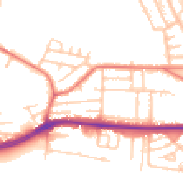
Daytime· 07:00 – 23:00
52.7dB

Night-time· 23:00 – 07:00
44.0dB