12 Briarwood Avenue, Warrington, WA1 3ST
About 12 Briarwood Avenue
12 Briarwood Avenue is a mid-terrace house in Warrington (WA1 3ST). It has a recorded floor area of 81 m² (around 872 sq ft), construction records dating it to 1900-1929 and council tax band A. The latest certificate (April 2025) shows a D (score 61), on the cusp of jumping into the C band. The recommended improvements would push it to C (score 77).
It hasn't traded since September 1996, a hold of 30 years that's notably long for the area. Only one transfer is on record with HM Land Registry, suggesting it has stayed in the same hands for a long time. Today's modelled estimate of £145,000 sits 643.6% above the 1996 sale of £19,500. On a £-per-square-foot basis, the last sale (£22/sq ft) was about 54.9% below the postcode norm.
Everything you need to know about 12 Briarwood Avenue
The true value, the hidden risks and the full sale history, in one report.
30-day money-back guarantee

The data behind every report


Energy performance
EPC Rating
Planning history
12 Briarwood Avenue has no planning applications on record.
Notable planning nearby
3applications of note in the surrounding area
We flagged 1 thing worth checking at 12 Briarwood Avenue
Independent checks surfaced things a buyer would want to understand before offering. The report explains each one in full, with the underlying data and what to ask.
- Larger development activity nearby
30-day money-back guarantee
Sales history & valuation
12 Briarwood Avenue's modelled value sits at over four times its earliest registered sale price (1996).
£145,000
Modelled from EPC, postcode comparables.
£19,500
Recorded with HM Land Registry.
Sales timeline
26 September 1996Most recent
£19,500
Median price across the last 5 sales in WA1 3ST: £115,000 (2025–2006).
Nearby sales in WA1 3ST
5 Briarwood Avenue, Warrington, WA1 3ST
Sold Feb 2025
£175,00015 Briarwood Avenue, Warrington, WA1 3ST
Sold Aug 2021
£115,0001 Briarwood Avenue, Warrington, WA1 3ST
Sold Dec 2006
£78,5003 Briarwood Avenue, Warrington, WA1 3ST
Sold Jun 2006
£115,00017 Briarwood Avenue, Warrington, WA1 3ST
Sold Aug 2001
£48,000
Versus other Briarwood Avenue homes
12 Briarwood Avenue is notably below the street on epc rating.
Price per m²
£241
Street avg £676
Floor Area
81 m²
Street avg 83 m²
Habitable Rooms
4 rooms
Street avg 4 rooms
CO₂ Emissions
3.9 t/year
Street avg 3.5 t/year
Everything you need to know about 12 Briarwood Avenue
The true value, the hidden risks and the full sale history, in one report.
30-day money-back guarantee
The data behind every report
Similar properties nearby
The neighbourhood at a glance
Crime
3/mo
Steady year-on-year across the wider district.
Nearest stop
0.1 km
Padgate Stores — bus stop.
Closest school
0.3 km
Oakwood Avenue Community Primary School. 36 schools nearby.
Go deeper on the local area
The full report breaks down crime, transport links, schools and air quality in depth.
Road noise across the postcode
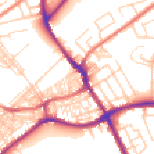
Daytime· 07:00 – 23:00
55.1dB

Night-time· 23:00 – 07:00
44.8dB