12 Algernon Street, Warrington, WA1 3QP
About 12 Algernon Street
12 Algernon Street is a mid-terrace house in Warrington (WA1 3QP). It has a recorded floor area of 74 m² (around 797 sq ft), construction records dating it to 1900-1929 and council tax band A. The latest certificate (May 2020) shows a D (score 59), a step below the typical UK home. The recommended improvements would push it to C (score 78).
Today's modelled estimate of £141,000 is 35.6% above the 2020 sale price. On a £-per-square-foot basis, the last sale (£131/sq ft) was about 31.9% above the typical sold price in the postcode. Most recent transfer: October 2020 at £104,000.
Everything you need to know about 12 Algernon Street
The true value, the hidden risks and the full sale history, in one report.
30-day money-back guarantee

The data behind every report


Energy performance
EPC Rating
Planning history
12 Algernon Street has no planning applications on record.
Notable planning nearby
3applications of note in the surrounding area
We flagged 1 thing worth checking at 12 Algernon Street
Independent checks surfaced things a buyer would want to understand before offering. The report explains each one in full, with the underlying data and what to ask.
- Larger development activity nearby
30-day money-back guarantee
Sales history & valuation
The latest sale landed in the post-pandemic price surge — useful context when reading the figure.
£141,000
Modelled from EPC, postcode comparables.
£104,000
Recorded with HM Land Registry.
Sales timeline
15 October 2020Most recent
£104,000
Median price across the last 5 sales in WA1 3QP: £137,500 (2025–2024).
Nearby sales in WA1 3QP
48 Algernon Street, Warrington, WA1 3QP
Sold Sept 2025
£137,00058 Algernon Street, Warrington, WA1 3QP
Sold Apr 2025
£148,00026 Algernon Street, Warrington, WA1 3QP
Sold Mar 2025
£137,50076 Algernon Street, Warrington, WA1 3QP
Sold Jan 2025
£143,00038 Algernon Street, Warrington, WA1 3QP
Sold Nov 2024
£124,000
Versus other Algernon Street homes
CO₂ Emissions for 12 Algernon Street lags the street by a wide margin.
Price per m²
£1,405
Street avg £1,321
Floor Area
74 m²
Street avg 73 m²
Habitable Rooms
4 rooms
Street avg 4 rooms
CO₂ Emissions
4.0 t/year
Street avg 3.5 t/year
Everything you need to know about 12 Algernon Street
The true value, the hidden risks and the full sale history, in one report.
30-day money-back guarantee
The data behind every report
Similar properties nearby
The neighbourhood at a glance
Crime
3/mo
Steady year-on-year across the wider district.
Nearest stop
0.2 km
Helsby Street — bus stop.
Closest school
0.4 km
St Elphin's (Fairfield) CofE Voluntary Aided Primary School. 39 schools nearby.
Go deeper on the local area
The full report breaks down crime, transport links, schools and air quality in depth.
Road noise across the postcode
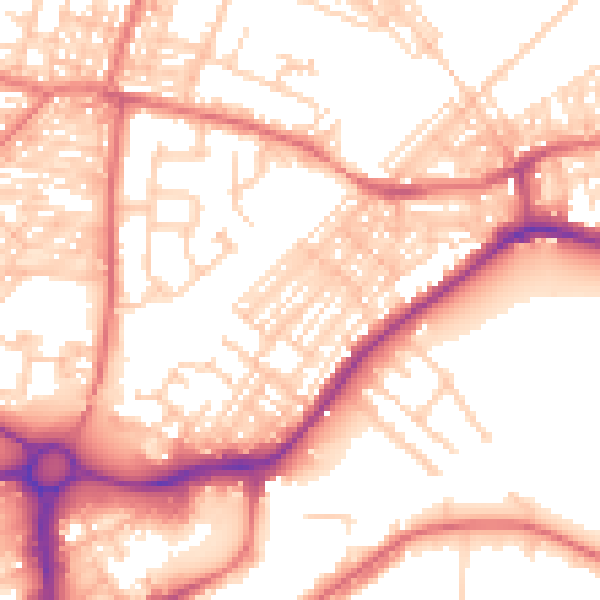
Daytime· 07:00 – 23:00
55.6dB

Night-time· 23:00 – 07:00
44.2dB