8 Bold Street, Warrington, WA1 1DR
About 8 Bold Street
8 Bold Street is a mid-terrace house in Warrington (WA1 1DR). It has a recorded floor area of 92 m² (around 989 sq ft) and construction records dating it to before 1900. The latest certificate (January 2012) shows an E (score 51), well below the UK norm with real room to improve. The recommended improvements would push it to D (score 57). The latest certificate is from January 2012, so improvements made since then won't be reflected.
Untraded for 23 years, with the last transfer in March 2003. 2 planning records sit against the property, 0 approved, 0 refused. Today's modelled estimate of £200,000 is 29% above the 2003 sale price.
Everything you need to know about 8 Bold Street
The true value, the hidden risks and the full sale history, in one report.
30-day money-back guarantee

The data behind every report


Energy performance
8 Bold Street's carbon output runs well above what efficient homes in the postcode produce.
EPC Expired
This certificate is over 10 years old and is no longer valid.Expired 30 Jan 2022
EPC Rating
Planning history
- Jul 2003AdvertisingIn report
Proposed externally illuminated shop fascia sign
- Reference
- 2003/00512
- May 2003Change of UseFullIn report
PROPOSED CHANGE OF USE FROM OFFICES TO COFFEE SHOP TO GROUND FLOOR WITH LICENSED BISTRO AND ABOVE FLOORS FOR PROPOSED FLAT WITH EXTERNAL FIRE ESCAPE
- Reference
- A03/46938
We flagged 2 things worth checking at 8 Bold Street
Independent checks surfaced things a buyer would want to understand before offering. The report explains each one in full, with the underlying data and what to ask.
- Signs of HMO activity in the area
- Larger development activity nearby
30-day money-back guarantee
Sales history & valuation
£200,000
Modelled from EPC, postcode comparables.
£155,000
Recorded with HM Land Registry.
Sales timeline
30 March 2003Most recent
£155,000
Everything you need to know about 8 Bold Street
The true value, the hidden risks and the full sale history, in one report.
30-day money-back guarantee
The data behind every report
Similar properties nearby
1 Swanick Way
WA1 1AS
1 Henry Street
WA1 1NU
1 Bath Street
WA1 1UQ
1 White Street
WA1 1NR
1 Knightsbridge Court, Palmyra Square North
WA1 1TA
1 Marchington Apartments, Swanick Way
WA1 1AT
1 Hawksview Apartments, Swanick Way
WA1 1AU
1 Chasetown Road
WA1 1RZ
The neighbourhood at a glance
Rail-style transport is unusually close for this postcode.
Crime
3/mo
Steady year-on-year across the wider district.
Nearest stop
0.0 km
White Hart — bus stop.
Closest school
0.5 km
UTC Warrington. 34 schools nearby.
Go deeper on the local area
The full report breaks down crime, transport links, schools and air quality in depth.
Road noise across the postcode
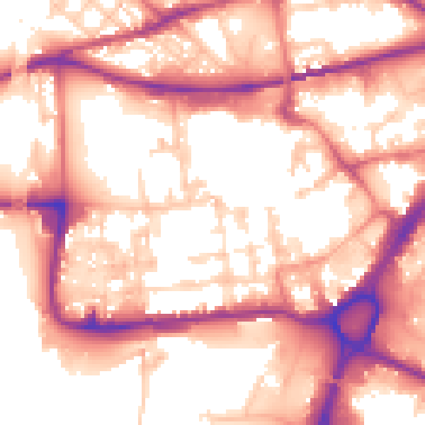
Daytime· 07:00 – 23:00
57.0dB

Night-time· 23:00 – 07:00
47.6dB