23 Beaconsfield Road, Ealing, London, W5 5JE
About 23 Beaconsfield Road
23 Beaconsfield Road is an end-of-terrace house in Ealing, London, London (W5 5JE). It has a recorded floor area of 136 m² (around 1464 sq ft), construction records dating it to 1930-1949 and council tax band F. The latest certificate (July 2019) shows a D (score 67), on the cusp of jumping into the C band. The recommended improvements would lift it to B (score 81), a 2-band jump.
Untraded for 28 years, with the last transfer in September 1998. Across 1997–1998, sale prices on this property compounded at 22% per year. Today's modelled estimate of £1,121,000 sits 352% above the 1998 sale of £248,000. On a £-per-square-foot basis, the last sale (£169/sq ft) was about 70% below the postcode norm. 3 planning records sit against the property, 3 approved, 0 refused. Past consents include an extension, partial demolition and a conservatory, meaningful when judging how the property has evolved.
Know exactly what you're buying at 23 Beaconsfield Road
Before you offer, see what the listing won't tell you, the true value, the red flags and the full history.
Already flagged here
Valuation
against the asking price
Risks
planning & flood
Sold prices
similar homes nearby
Trends
the local market
Energy performance
Recommended upgrades on file would lift this property by multiple EPC bands.
EPC Rating
Planning history
Planning history includes recorded demolition works, indicating a major rebuild phase at this address.
- Sept 2017ExtensionOutlineIn report
Extension: Single storey · Rear of property
Single storey (Max 4m deep and Max 3.67m high) rear extension (42 days Prior Notification Process)
- Documents
- 4 docs on file
- Reference
- 173769PALHE
- Sept 2017DemolitionFullIn report
Extension: Single storey · Rear of property
Single storey rear extension (following demolition of existing rear extensions)
- Agent
- Katiba Consultants Limited
Extension- Documents
- 9 docs on file
- Reference
- 173745HH
We flagged 2 things worth checking at 23 Beaconsfield Road
Independent checks surfaced things a buyer would want to understand before offering. The report explains each one in full, with the underlying data and what to ask.
- Larger development activity nearby
- Recent ownership pattern worth a look
30-day money-back guarantee
Sales history & valuation
23 Beaconsfield Road's modelled value sits at over four times its earliest registered sale price (1997).
£1,121,000
Modelled from EPC, postcode comparables and a sale-price growth of 22.0% per year over 1 year.
£248,000
Growth on file: 22.0% per year over 1 year.
Sales timeline
9 September 1998Most recent
£248,000
+27.2%over 1 year24 June 1997
£194,950
Median price across the last 5 sales in W5 5JE: £1,068,750 (2024–2019).
Nearby sales in W5 5JE
7 Beaconsfield Road, Ealing, London, W5 5JE
Sold Aug 2024
£1,231,50024 Beaconsfield Road, Ealing, London, W5 5JE
Sold Aug 2024
£1,017,50044 Beaconsfield Road, Ealing, London, W5 5JE
Sold Aug 2020
£1,068,7503 Beaconsfield Road, Ealing, London, W5 5JE
Sold Oct 2019
£1,085,00014 Beaconsfield Road, Ealing, London, W5 5JE
Sold Oct 2019
£930,000
Everything we know about 23 Beaconsfield Road, in one report
What it's really worth, what could be wrong, and the planning, sales and area data in full.
What we flagged
- Larger development activity nearby
- Recent ownership pattern worth a look

Versus other Beaconsfield Road homes
Price per m² for 23 Beaconsfield Road lags the street by a wide margin.
Price per m²
£1,824
Street avg £7,524
Floor Area
136 m²
Street avg 127 m²
Habitable Rooms
6 rooms
Street avg 5 rooms
CO₂ Emissions
4.6 t/year
Street avg 5.6 t/year
Similar properties nearby
1 Marlborough Road, Ealing
W5 5NY
1 Keswick Mews, Ealing
W5 5PG
1 Lammas Park Road, Ealing
W5 5JD
1 Gideon Mews, Ealing
W5 5EL
1 Disraeli Road, Ealing
W5 5HS
1 Byron House, The Park, Ealing
W5 5NF
1 Holinser Terrace, Ealing
W5 5BD
1 Kerrison Villas, Ealing
W5 5NN
The neighbourhood at a glance
Rail-style transport is unusually close for this postcode.
Crime
14/mo
Rising year-on-year across the wider district.
Nearest stop
0.1 km
St Mary's Church (W5) — bus stop.
Closest school
0.2 km
Grange Primary School. 40 schools nearby.
Go deeper on the local area
The full report breaks down crime, transport links, schools and air quality in depth.
Road noise across the postcode
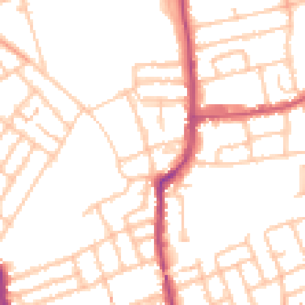
Daytime· 07:00 – 23:00
50.5dB

Night-time· 23:00 – 07:00
40.6dB