5 Devonport Mews, Hammersmith And Fulham, London, W12 8NG
About 5 Devonport Mews
5 Devonport Mews is a one-bedroom property in Hammersmith And Fulham, London, London (W12 8NG).
2 planning records sit against the property, 2 approved, 0 refused. Past consents include an extension, meaningful when judging how the property has evolved. Last sold in May 2012, so it's been off the market for around 14 years. Across 2002–2012, sale prices on this property compounded at 5.4% per year.
Know exactly what you're buying at 5 Devonport Mews
Before you offer, see what the listing won't tell you, the true value, the red flags and the full history.
Already flagged here
Valuation
against the asking price
Risks
planning & flood
Sold prices
similar homes nearby
Trends
the local market
What this property has
Inside
- Bedrooms1
- Bathrooms1
- Dining roomYes
- Utility roomYes
- EnsuiteYes
Energy performance
No EPC on record
This property doesn't have an Energy Performance Certificate yet. An EPC is required to sell or let — and unlocks our automated valuation.
Planning history
Council records include a part-single-part-two-storey side extension at 5 Devonport Mews.
- Sept 2012ExtensionFullIn report
Extension: Part single, part two storey · Side of property
Erection of an extension at ground, first and second floor level to side of main building including extension to stair platform at first floor level; erection of an additional floor at roof level; elevational alterations at first floor level to the front elevation, alterations to existing doors and windows to the front and rear elevations, at ground and first floor level.
- Agent
- SCP Architects
- Documents
- 7 docs on file
- Reference
- 2012/02071/FUL
- Apr 2012ConditionsIn report
Submission of details of materials pursuant to condition 3; details of the cladding and fenestration pursuant to condition 4; details of a phasing plan pursuant to condition 7; details of a building contract pursuant to condition 8; details of refuse pursuant to condition 10 of planning permission ref. 2009/00801/FUL granted on 1st December 2009.
- Agent
- SCP Architects
- Documents
- 10 docs on file
- Reference
- 2012/00027/DET
We flagged 1 thing worth checking at 5 Devonport Mews
Independent checks surfaced things a buyer would want to understand before offering. The report explains each one in full, with the underlying data and what to ask.
- Larger development activity nearby
30-day money-back guarantee
Sales history & valuation
£124,000
Growth on file: 5.4% per year over 10 years.
Sales timeline
15 May 2012Most recent
£124,000
+65.3%over 9 years11 November 2002
£75,000
Median price across the last 5 sales in W12 8NG: £300,000 (2025–2010).
Nearby sales in W12 8NG
4 Devonport Mews, Hammersmith And Fulham, London, W12 8NG
Sold Aug 2025
£880,0001 Devonport Mews, Hammersmith And Fulham, London, W12 8NG
Sold Jul 2012
£870,0003 Devonport Mews, Hammersmith And Fulham, London, W12 8NG
Sold May 2012
£250,0002 Devonport Mews, Hammersmith And Fulham, London, W12 8NG
Sold Apr 2010
£170,000
Everything we know about 5 Devonport Mews, in one report
What it's really worth, what could be wrong, and the planning, sales and area data in full.
What we flagged
- Larger development activity nearby

Similar properties nearby
1 Goldhawk Mews, Hammersmith And Fulham
W12 8PA
1 Godolphin Road, Hammersmith And Fulham
W12 8JE
1 Aldine Street, Hammersmith And Fulham
W12 8AW
1 Devonport Mews, Hammersmith And Fulham
W12 8NG
1 Havilland Mews, Hammersmith And Fulham
W12 8BG
1 Rayner Court, Bamborough Gardens
W12 8QJ
1 Smugglers Yard, Hammersmith And Fulham
W12 8HU
1 Scotts Road, Hammersmith And Fulham
W12 8HP
The neighbourhood at a glance
Rail-style transport is unusually close for this postcode.
Crime
6/mo
Rising year-on-year across the wider district.
Nearest stop
0.1 km
Loftus Road — bus stop.
Closest school
0.3 km
Miles Coverdale Primary School. 70 schools nearby.
Go deeper on the local area
The full report breaks down crime, transport links, schools and air quality in depth.
Road noise across the postcode
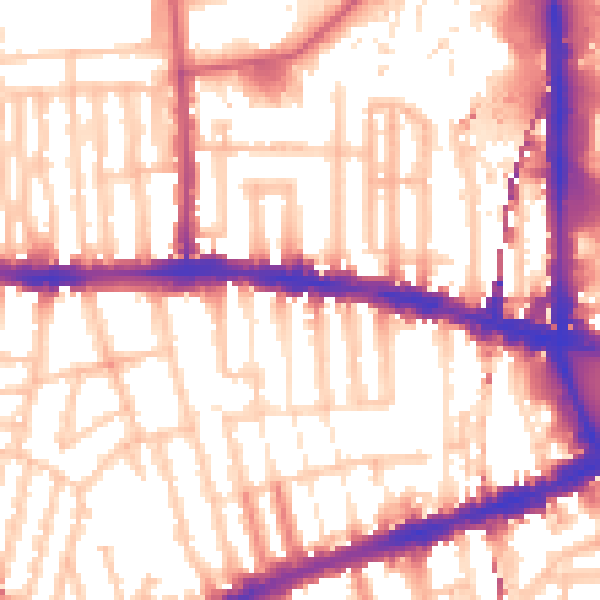
Daytime· 07:00 – 23:00
56.9dB

Night-time· 23:00 – 07:00
47.3dB