9 Coverdale Road, Hammersmith And Fulham, London, W12 8JJ
About 9 Coverdale Road
9 Coverdale Road is a two-bedroom end-of-terrace house in Hammersmith And Fulham, London, London (W12 8JJ). It has a recorded floor area of 63 m² (around 678 sq ft) and construction records dating it to before 1900. At 63 m² this is the 6th smallest of 9 units on EPC record in the building, where floor areas span 49–107 m². The building's EPC ratings span E to C, with this unit at the top. The latest certificate (April 2017) shows a C (score 70). When first surveyed in October 2013 the rating was D, the property has climbed 1 band since. Between certificates, wall efficiency went from Very Poor to Poor; while lighting dropped from Very Good to Average.
3 planning records sit against the property, 3 approved, 0 refused. Past consents include tree works, meaningful when judging how the property has evolved. Across 2017–2022, sale prices on this property compounded at 1.5% per year. On a £-per-square-foot basis, the last sale (£826/sq ft) was about 121.6% above the typical sold price in the postcode. Most recent transfer: June 2022 at £560,000. That sale was during the post-pandemic price surge, when transactions cleared materially above pre-2020 trend.
Know exactly what you're buying at 9 Coverdale Road
Before you offer, see what the listing won't tell you, the true value, the red flags and the full history.
Already flagged here
Valuation
against the asking price
Risks
planning & flood
Sold prices
similar homes nearby
Trends
the local market
What this property has
Inside
- Bedrooms2
- Bathrooms1
- Open-plan layoutYes
- FireplaceYes
Outside
- Private gardenYes
- GarageYes
Building
- RefurbishedYes
Energy performance
EPC Rating
Property Improvements
Changes detected from historical EPC data
Heating controls upgraded for better temperature management
Wall insulation improved
Low energy lighting percentage decreased
Planning history
Planning history at 9 Coverdale Road is exclusively tree-management applications — typical for a property with mature trees on or near the plot.
- Oct 2004
- Aug 2004
We flagged 1 thing worth checking at 9 Coverdale Road
Independent checks surfaced things a buyer would want to understand before offering. The report explains each one in full, with the underlying data and what to ask.
- Larger development activity nearby
30-day money-back guarantee
Sales history & valuation
The latest sale landed in the post-pandemic price surge — useful context when reading the figure.
£558,000
Modelled from EPC, postcode comparables and a sale-price growth of 1.5% per year over 5 years.
£560,000
Growth on file: 1.5% per year over 5 years.
Sales timeline
19 June 2022Most recent
£560,000
+7.7%over 5 years11 May 2017
£520,000
Median price across the last 5 sales in W12 8JJ: £564,100 (2021–2012).
Nearby sales in W12 8JJ
13a, Coverdale Road, Hammersmith And Fulham, London, W12 8JJ
Sold Jun 2021
£650,0003d, Coverdale Road, London, W12 8JJ
Sold Jan 2021
£170,000Ground Floor Flat, 5 Coverdale Road, London, W12 8JJ
Sold Jan 2020
£567,611First Floor Flat, 5 Coverdale Road, London, W12 8JJ
Sold Oct 2012
£450,0003a, Coverdale Road, Hammersmith And Fulham, London, W12 8JJ
Sold Apr 2011
£265,000
Everything we know about 9 Coverdale Road, in one report
What it's really worth, what could be wrong, and the planning, sales and area data in full.
What we flagged
- Larger development activity nearby

Versus other Coverdale Road homes
On years held, 9 Coverdale Road runs well behind the street norm.
Price per m²
£8,889
Street avg £6,671
Floor Area
63 m²
Street avg 62 m²
Habitable Rooms
4 rooms
Street avg 3 rooms
CO₂ Emissions
2.2 t/year
Street avg 2.4 t/year
Similar properties nearby
1 Aldine Street, Hammersmith And Fulham
W12 8AW
1 Goldhawk Mews, Hammersmith And Fulham
W12 8PA
1 Devonport Mews, Hammersmith And Fulham
W12 8NG
1 Havilland Mews, Hammersmith And Fulham
W12 8BG
1 Godolphin Road, Hammersmith And Fulham
W12 8JE
1 Devonport Road, Hammersmith And Fulham
W12 8NZ
1 Smugglers Yard, Hammersmith And Fulham
W12 8HU
1 Southway Close, Hammersmith And Fulham
W12 8HX
The neighbourhood at a glance
Rail-style transport is unusually close for this postcode.
Crime
6/mo
Rising year-on-year across the wider district.
Nearest stop
0.1 km
Shepherd's Bush Market Station — bus stop.
Closest school
0.1 km
Miles Coverdale Primary School. 68 schools nearby.
Go deeper on the local area
The full report breaks down crime, transport links, schools and air quality in depth.
Road noise across the postcode
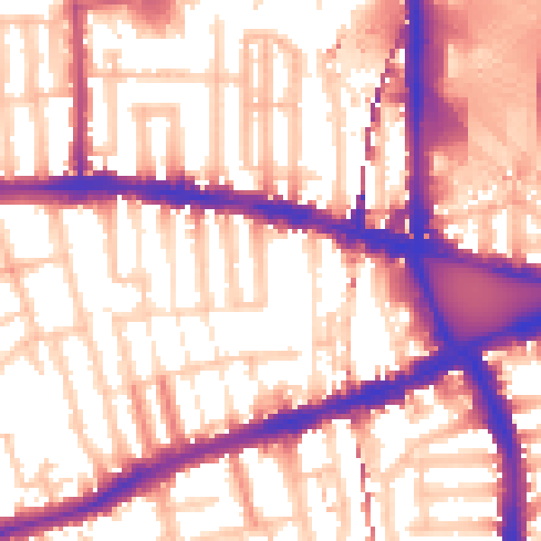
Daytime· 07:00 – 23:00
58.1dB

Night-time· 23:00 – 07:00
48.9dB