5 Caverswall Street, Hammersmith And Fulham, London, W12 0HG
About 5 Caverswall Street
5 Caverswall Street is a three-bedroom end-of-terrace house in Hammersmith And Fulham, London, London (W12 0HG). It has a recorded floor area of 112 m² (around 1210 sq ft), construction records dating it to 1900-1929 and council tax band F. There is a swimming pool on the plot, uncommon for the area. The latest certificate (February 2012) shows an E (score 49), well below the UK norm with real room to improve. The latest certificate is from February 2012, so improvements made since then won't be reflected.
At 112 m² the property is well over the postcode median (70 m² across 3 EPCs), placing it in the larger end of the local stock. 6 planning records sit against the property, 4 approved, 1 refused. Past consents include an extension, new windows and partial demolition, meaningful when judging how the property has evolved. On the market in October 2017 and unlisted since — roughly 9 years. Across 2015–2017, sale prices on this property compounded at -4.2% per year. Today's modelled estimate of £1,205,000 is 20.5% above the 2017 sale price.
Know exactly what you're buying at 5 Caverswall Street
Before you offer, see what the listing won't tell you, the true value, the red flags and the full history.
Valuation
against the asking price
Risks
planning & flood
Sold prices
similar homes nearby
Trends
the local market
What this property has
Inside
- Bedrooms3
- Bathrooms2
- Dining roomYes
Outside
- Private gardenYes
- ParkingOff road
- Swimming poolYes
Building
- ConciergeYes
Energy performance
5 Caverswall Street's carbon output runs well above what efficient homes in the postcode produce.
EPC Expired
This certificate is over 10 years old and is no longer valid.Expired 13 Feb 2022
EPC Rating
Planning history
Planning history includes recorded demolition works, indicating a major rebuild phase at this address.
- Apr 2019ExtensionFullIn report
Extension: Rear of property
Erection of a rear roof extension including the formation of a hip to gable roof extension; erection of a rear extension at second floor level on top of the existing back addition; installation of three rooflight in the front roofslope.
- Agent
- Oliver Leech Architects
- Documents
- 12 docs on file
- Reference
- 2018/03504/FUL
- Mar 2019DemolitionFullIn report
Extension: Single storey
Erection of a single storey rear extension, to the side and rear of the existing back addition following the demolition of existing conservatory; replacement of existing windows with new double glazed timber sash windows.
- Agent
- Oliver Leech Architects
ExtensionNew Windows- Documents
- 18 docs on file
- Reference
- 2018/03580/FUL
What's in 5 Caverswall Street, Hammersmith And Fulham, London, W12 0HG's planning history?
4 more on this property, plus refusals, disputes and full decisions nearby, in the report.
Sales history & valuation
£1,205,000
Modelled from EPC, postcode comparables and a sale-price growth of -4.2% per year over 2 years.
£1,000,000
Growth on file: -4.2% per year over 2 years.
Sales timeline
22 October 2017Most recent
£1,000,000
-9.1%over 2 years2 August 2015
£1,100,000
Median price across the last 2 sales in W12 0HG: £776,500 (2025–2001).
Everything we know about 5 Caverswall Street, in one report
What it's really worth, what could be wrong, and the planning, sales and area data in full.
- Am I paying too much?
- Is something wrong with it?
- Is the agent's story true?
- Will it hold its value?

Similar properties nearby
1 Eynham Road, Hammersmith And Fulham
W12 0HD
1 Hemlock Road, Hammersmith And Fulham
W12 0QP
1 Gravesend Road, Hammersmith And Fulham
W12 0SZ
1 Galloway Road, Hammersmith And Fulham
W12 0PH
1 Glenroy Street, Hammersmith And Fulham
W12 0HF
1 Caverswall Street, Hammersmith And Fulham
W12 0HG
1 Bramble Gardens, Hammersmith And Fulham
W12 0TF
1 Braybrook Street, Hammersmith And Fulham
W12 0AR
The neighbourhood at a glance
Rail-style transport is unusually close for this postcode.
Crime
6/mo
Rising year-on-year across the wider district.
Nearest stop
0.1 km
North Pole Road — bus stop.
Closest school
0.2 km
Ark Burlington Danes Academy. 81 schools nearby.
Go deeper on the local area
The full report breaks down crime, transport links, schools and air quality in depth.
Road noise across the postcode
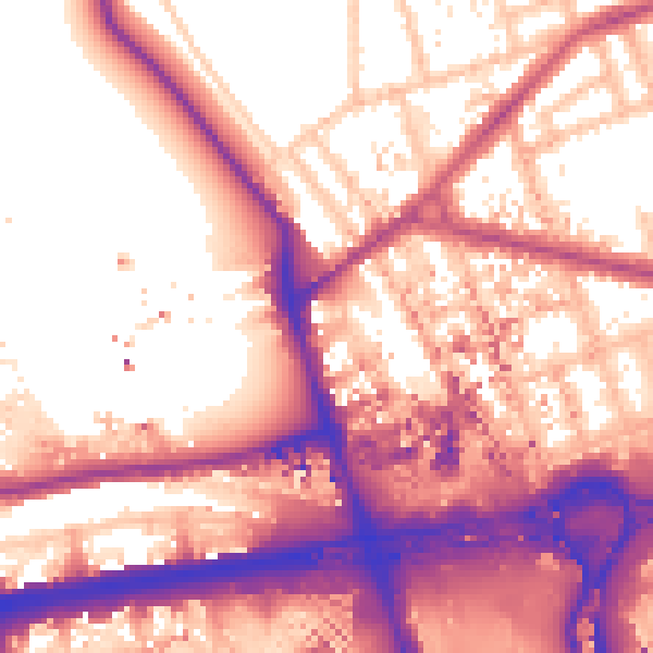
Daytime· 07:00 – 23:00
58.9dB
Night-time· 23:00 – 07:00
51.1dB