96 Fitzneal Street, Hammersmith And Fulham, London, W12 0BB
About 96 Fitzneal Street
96 Fitzneal Street is a three-bedroom property in Hammersmith And Fulham, London, London (W12 0BB). It has council tax band D.
It hasn't traded since May 2000, a hold of 26 years that's notably long for the area. 3 planning records sit against the property, 1 approved, 2 refused. Across 1995–2000, sale prices on this property compounded at 19.8% per year.
Know exactly what you're buying at 96 Fitzneal Street
Before you offer, see what the listing won't tell you, the true value, the red flags and the full history.
Valuation
against the asking price
Risks
planning & flood
Sold prices
similar homes nearby
Trends
the local market
What this property has
Inside
- Bedrooms3
- Bathrooms2
Outside
- Private gardenEast-facing
Energy performance
No EPC on record
This property doesn't have an Energy Performance Certificate yet. An EPC is required to sell or let — and unlocks our automated valuation.
Planning history
Planning history includes recorded demolition works, indicating a major rebuild phase at this address.
- Jun 2017BasementFullIn report
Extension: Single storey · Rear of property
Excavation of the rear gardens to No's 94 and 96 to form rear lightwells in connection with the creation of new basements beneath the footprint of the existing properties; erection of a single storey rear extension to the side of the existing back addition to No. 96 following the demolition of the existing single storey rear extension; replace existing window and door to rear elevation at ground floor level with folding doors to No. 94.
- Agent
- Ideal Planning & Design Ltd
ExtensionNew WindowsDemolition- Documents
- 45 docs on file
- Reference
- 2016/03034/FUL
- Feb 2016BasementFullIn report
Extension: Single storey · Rear of property
Erection of a single storey rear extension to replace existing to the side of the existing back addition at No.96; excavation of part of the front gardens and part of the rear gardens to form lightwells, in connection with the creation of new basements at Nos.94 and 96; and installation of bi-folding doors at ground floor level to the rear elevation of No.94.
- Agent
- Ideal Planning & Design Ltd
Extension- Documents
- 35 docs on file
- Reference
- 2015/05718/FUL
What's in 96 Fitzneal Street, Hammersmith And Fulham, London, W12 0BB's planning history?
1 more on this property, plus refusals, disputes and full decisions nearby, in the report.
Sales history & valuation
96 Fitzneal Street has more than doubled in price since the earliest registered sale in 1995.
£149,950
Growth on file: 19.8% per year over 4 years.
Sales timeline
1 May 2000Most recent
£149,950
+123.8%over 4 years17 November 1995
£67,000
Median price across the last 5 sales in W12 0BB: £585,000 (2021–2017).
Nearby sales in W12 0BB
142 Fitzneal Street, Hammersmith And Fulham, London, W12 0BB
Sold Dec 2021
£600,00056 Fitzneal Street, Hammersmith And Fulham, London, W12 0BB
Sold Oct 2021
£585,00094 Fitzneal Street, Hammersmith And Fulham, London, W12 0BB
Sold Aug 2021
£632,50092 Fitzneal Street, Hammersmith And Fulham, London, W12 0BB
Sold Sept 2018
£350,000138 Fitzneal Street, Hammersmith And Fulham, London, W12 0BB
Sold Jul 2017
£452,500
Everything we know about 96 Fitzneal Street, in one report
What it's really worth, what could be wrong, and the planning, sales and area data in full.
- Am I paying too much?
- Is something wrong with it?
- Is the agent's story true?
- Will it hold its value?

Similar properties nearby
1 Caverswall Street, Hammersmith And Fulham
W12 0HG
1 Eynham Road, Hammersmith And Fulham
W12 0HD
1 Galloway Road, Hammersmith And Fulham
W12 0PH
1 Gravesend Road, Hammersmith And Fulham
W12 0SZ
1 Hemlock Road, Hammersmith And Fulham
W12 0QP
1 Bramble Gardens, Hammersmith And Fulham
W12 0TF
1 Braybrook Street, Hammersmith And Fulham
W12 0AR
1 Glenroy Street, Hammersmith And Fulham
W12 0HF
The neighbourhood at a glance
Rail-style transport is unusually close for this postcode.
Crime
6/mo
Rising year-on-year across the wider district.
Nearest stop
0.1 km
East Acton Underground Station — subway entrance.
Closest school
0.3 km
Old Oak Primary School. 66 schools nearby.
Go deeper on the local area
The full report breaks down crime, transport links, schools and air quality in depth.
Road noise across the postcode
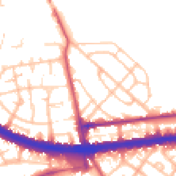
Daytime· 07:00 – 23:00
53.5dB

Night-time· 23:00 – 07:00
44.8dB