133 Wulfstan Street, Hammersmith And Fulham, London, W12 0AB
About 133 Wulfstan Street
133 Wulfstan Street is a mid-terrace house in Hammersmith And Fulham, London, London (W12 0AB). It has a recorded floor area of 60 m² (around 646 sq ft), construction records dating it to 1900-1929 and council tax band D. The latest certificate (January 2017) shows a C (score 69), just inside the C band. When first surveyed in June 2011 the rating was E, the property has climbed 2 bands since. Between certificates, roof efficiency went from Very Poor to Average, hot-water efficiency went from Average to Good and main heating went from Average to Good. The recommended improvements would push it to B (score 86).
2 planning records sit against the property, 2 approved, 0 refused. Past consents include an extension and new windows, meaningful when judging how the property has evolved.
Know exactly what you're buying at 133 Wulfstan Street
Before you offer, see what the listing won't tell you, the true value, the red flags and the full history.
Valuation
against the asking price
Risks
planning & flood
Sold prices
similar homes nearby
Trends
the local market
Energy performance
EPC Rating
Property Improvements
Changes detected from historical EPC data
Heating controls upgraded for better temperature management
Hot water system upgraded
Wall insulation improved
Roof insulation improved
Low energy lighting percentage decreased
Planning history
133 Wulfstan Street has an approved single-storey rear extension on the planning record.
- Jun 2012ExtensionFullIn report
Extension: Single storey · Rear of property
Erection of a single storey rear extension.
- Agent
- CTP Architects
- Documents
- 8 docs on file
- Reference
- 2012/01312/FUL
- Apr 2010RenovationFullIn report
Replacement of existing windows with uPVC double glazed windows.
- Agent
- Pellings LLP
New Windows- Documents
- 2 docs on file
- Reference
- 2010/00476/FUL
What's in 133 Wulfstan Street, Hammersmith And Fulham, London, W12 0AB's planning history?
Refusals, disputes and full decisions on this property and nearby, in the report.
Sales history & valuation
133 Wulfstan Street has no Land Registry sales on file, suggesting it has stayed in the same hands since registration began.
£515,000
Modelled from EPC, postcode comparables.
No sales recorded with HM Land Registry
That can mean the property has never traded since the registry began publishing in 1995, was a new build that hasn't been registered yet, or is held in the same hands long-term.
Median price across the last 5 sales in W12 0AB: £510,000 (2025–2017).
Nearby sales in W12 0AB
161 Wulfstan Street, Hammersmith And Fulham, London, W12 0AB
Sold Jan 2025
£510,000155 Wulfstan Street, Hammersmith And Fulham, London, W12 0AB
Sold Sept 2021
£640,000229 Wulfstan Street, Hammersmith And Fulham, London, W12 0AB
Sold Jul 2020
£493,000173 Wulfstan Street, Hammersmith And Fulham, London, W12 0AB
Sold Feb 2018
£475,000117 Wulfstan Street, Hammersmith And Fulham, London, W12 0AB
Sold Oct 2017
£585,000
Everything we know about 133 Wulfstan Street, in one report
What it's really worth, what could be wrong, and the planning, sales and area data in full.
- Am I paying too much?
- Is something wrong with it?
- Is the agent's story true?
- Will it hold its value?

Versus other Wulfstan Street homes
133 Wulfstan Street is notably below the street on habitable rooms.
EPC Rating
69 (C)
Street avg 65 (D)
Floor Area
60 m²
Street avg 68 m²
CO₂ Emissions
2.3 t/year
Street avg 2.9 t/year
Habitable Rooms
3 rooms
Street avg 4 rooms
Similar properties nearby
1 Clematis Cottages, Clematis Street, Hammersmith And Fulham
W12 0QQ
1 Caverswall Street, Hammersmith And Fulham
W12 0HG
1 Galloway Road, Hammersmith And Fulham
W12 0PH
1 Collingbourne Road, Hammersmith And Fulham
W12 0JG
1 Blakenham Court, Cleverly Estate, Wormholt Road, Hammersmith And Fulham
W12 0LA
1 Begonia Walk, Hammersmith And Fulham
W12 0BE
1 Henchman Street, Hammersmith And Fulham
W12 0BW
1 Heathstan Road, Hammersmith And Fulham
W12 0RB
The neighbourhood at a glance
Rail-style transport is unusually close for this postcode.
Crime
6/mo
Rising year-on-year across the wider district.
Nearest stop
0.2 km
East Acton Underground Station — subway entrance.
Closest school
0.3 km
Old Oak Primary School. 69 schools nearby.
Go deeper on the local area
The full report breaks down crime, transport links, schools and air quality in depth.
Road noise across the postcode
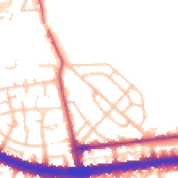
Daytime· 07:00 – 23:00
52.2dB

Night-time· 23:00 – 07:00
43.7dB