Westfield, Belbrough Lane, Hutton Rudby, Yarm, TS15 0JA
About Westfield
Westfield is an end-of-terrace house in Hutton Rudby, Yarm, Yarm (TS15 0JA). It has a recorded floor area of 243 m² (around 2616 sq ft), construction records dating it to before 1900 and council tax band F. The latest certificate (June 2012) shows a D (score 59), a step below the typical UK home. The recommended improvements would push it to C (score 80). The latest certificate is from June 2012, so improvements made since then won't be reflected.
At 243 m² the property is well over the postcode median (119 m² across 11 EPCs), placing it in the larger end of the local stock. One planning record on file: an extension approved in 2008. Past consents include an extension and a porch, meaningful when judging how the property has evolved. Last changed hands 14 years ago, in September 2012. Across 2007–2012, sale prices on this property compounded at -2.7% per year. Today's modelled estimate of £743,000 is 49.3% above the 2012 sale price.
Everything you need to know about Westfield
The true value, the hidden risks and the full sale history, in one report.
30-day money-back guarantee

The data behind every report


Energy performance
Westfield's carbon output runs well above what efficient homes in the postcode produce.
EPC Expired
This certificate is over 10 years old and is no longer valid.Expired 19 Jun 2022
EPC Rating
Planning history
Westfield has an approved extension on the planning record.
- Mar 2008PorchFullIn report
Porch extension to existing dwelling
Extension- Documents
- 9 docs on file
- Reference
- 08/00203/FUL
What's in Westfield, Belbrough Lane, Hutton Rudby, Yarm, TS15 0JA's planning history?
Refusals, disputes and full decisions on this property and nearby, in the report.
Sales history & valuation
Westfield valuation sits well clear of the typical sold price in this postcode.
£743,000
Modelled from EPC, postcode comparables and a sale-price growth of -2.7% per year over 5 years.
£497,500
Growth on file: -2.7% per year over 5 years.
Sales timeline
30 September 2012Most recent
£497,500
-13.5%over 5 years25 June 2007
£575,000
Median price across the last 5 sales in TS15 0JA: £283,000 (2023–2020).
Nearby sales in TS15 0JA
4 Drumrauch Hall, Belbrough Lane, Hutton Rudby, Yarm, TS15 0JA
Sold Apr 2023
£320,0003 Drumrauch Hall, Belbrough Lane, Hutton Rudby, Yarm, TS15 0JA
Sold Mar 2023
£210,0006 Drumrauch Hall, Belbrough Lane, Hutton Rudby, Yarm, TS15 0JA
Sold May 2021
£194,000Crystal Cottage, Belbrough Lane, Hutton Rudby, Yarm, TS15 0JA
Sold Dec 2020
£695,0002 Drumrauch Hall, Belbrough Lane, Hutton Rudby, Yarm, TS15 0JA
Sold Nov 2020
£283,000
Versus other Belbrough Lane homes
Westfield outperforms the street on epc rating by a wide margin.
Price per m²
£2,047
Street avg £2,318
Floor Area
243 m²
Street avg 106 m²
Habitable Rooms
9 rooms
Street avg 6 rooms
CO₂ Emissions
11.0 t/year
Street avg 7.4 t/year
Everything you need to know about Westfield
The true value, the hidden risks and the full sale history, in one report.
30-day money-back guarantee
The data behind every report
Similar properties nearby
1 Eden Park Road, Hutton Rudby
TS15 0HS
1 Garbutts Lane, Hutton Rudby
TS15 0DN
1 Linden Close, Hutton Rudby
TS15 0HX
1 Greenlands, Hutton Rudby
TS15 0JQ
1 Megginson House, Garbutts Lane, Hutton Rudby
TS15 0DU
1 Blue Barn Lane, Hutton Rudby
TS15 0JG
1 Levendale, Hutton Rudby
TS15 0DW
1 Linden Crescent, Hutton Rudby
TS15 0HU
The neighbourhood at a glance
Daytime road noise here sits well below conversation level — a quiet pocket of the postcode.
Crime
3/mo
Steady year-on-year across the wider district.
Nearest stop
0.4 km
Linden Crescent — bus stop.
Closest school
0.7 km
Hutton Rudby Primary School. 1 school nearby.
Go deeper on the local area
The full report breaks down crime, transport links, schools and air quality in depth.
Road noise across the postcode
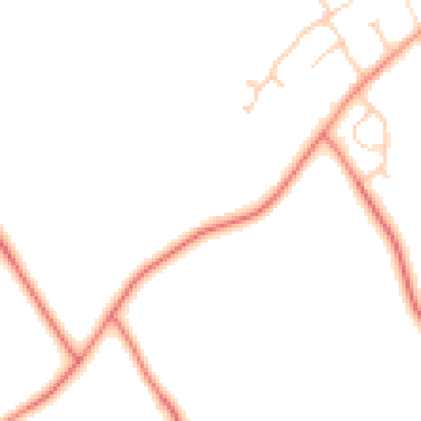
Daytime· 07:00 – 23:00
45.5dB

Night-time· 23:00 – 07:00
36.5dB