Esperance, Higher Trevellas, St Agnes, TR5 0XR
About Esperance
Esperance is a property in Higher Trevellas, St. Agnes, St Agnes (TR5 0XR).
Held since March 2005 — that's 21 years off the open market, well above the local norm.
Everything you need to know about Esperance
The true value, the hidden risks and the full sale history, in one report.
30-day money-back guarantee

The data behind every report


Energy performance
No EPC on record
This property doesn't have an Energy Performance Certificate yet. An EPC is required to sell or let — and unlocks our automated valuation.
Planning history
Esperance has no planning applications on record.
Notable planning nearby
1applications of note in the surrounding area
We flagged 1 thing worth checking at Esperance
Independent checks surfaced things a buyer would want to understand before offering. The report explains each one in full, with the underlying data and what to ask.
- Larger development activity nearby
30-day money-back guarantee
Sales history & valuation
£370,000
Recorded with HM Land Registry.
Sales timeline
24 March 2005Most recent
£370,000
Median price across the last 4 sales in TR5 0XR: £109,000 (2024–1997).
Nearby sales in TR5 0XR
Higher Trevellas Farm, The Stable, Higher Trevellas, St Agnes, TR5 0XR
Sold Mar 2024
£80,000Higher Trevellas Farm, Higher Trevellas, St Agnes, TR5 0XR
Sold Jun 2021
£311,000Higher Trevellas Farm, The Cottage, Higher Trevellas, St Agnes, TR5 0XR
Sold Mar 2019
£125,000Hide Out, Higher Trevellas, St Agnes, TR5 0XR
Sold Jul 1997
£93,000
Everything you need to know about Esperance
The true value, the hidden risks and the full sale history, in one report.
30-day money-back guarantee
The data behind every report
Similar properties nearby
The neighbourhood at a glance
Daytime road noise here sits well below conversation level — a quiet pocket of the postcode.
Crime
2/mo
Steady year-on-year across the wider district.
Nearest stop
0.4 km
Institute — bus stop.
Closest school
0.9 km
Mithian School. 2 schools nearby.
Go deeper on the local area
The full report breaks down crime, transport links, schools and air quality in depth.
Road noise across the postcode
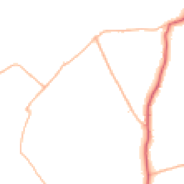
Daytime· 07:00 – 23:00
44.8dB

Night-time· 23:00 – 07:00
37.4dB