19, Bridgetown, Totnes, TQ9 5BA
About 19
19 is an end-of-terrace house in Bridgetown, Totnes, Totnes (TQ9 5BA). It has a recorded floor area of 75 m² (around 807 sq ft) and construction records dating it to 1996-2002. The latest certificate (September 2013) shows a D (score 63), on the cusp of jumping into the C band. The recommended improvements would lift it to A (score 93), a 3-band jump. The latest certificate is from September 2013, so improvements made since then won't be reflected.
Untraded for 29 years, with the last transfer in December 1996. Only one transfer is on record with HM Land Registry, suggesting it has stayed in the same hands for a long time. Today's modelled estimate of £253,000 sits 589.4% above the 1996 sale of £36,700. On a £-per-square-foot basis, the last sale (£45/sq ft) was about 79.2% below the postcode norm. 5 planning records sit against the property, 2 approved, 0 refused. Past consents include an extension, meaningful when judging how the property has evolved. The record references listed-building consent, which constrain future alterations.
Know exactly what you're buying at 19
Before you offer, see what the listing won't tell you, the true value, the red flags and the full history.
Already flagged here
Valuation
against the asking price
Risks
planning & flood
Sold prices
similar homes nearby
Trends
the local market
Energy performance
Recommended upgrades on file would lift this property by multiple EPC bands.
EPC Expired
This certificate is over 10 years old and is no longer valid.Expired 16 Sept 2023
EPC Rating
Planning history
19 has a listed-building consent on record — alterations to a listed property are tightly controlled.
- Mar 2026Tree WorksTreesIn report
TPO 385; T1: Horse Chestnut – remove, poor health, risk of falling onto property.
- Council
- South Hams
- Documents
- 8 docs on file
- Reference
- 0282/26/TPO
- Jul 2020Tree WorksTreesIn report
T1: Horse Chestnut - pollard down to 6-8m above ground level. Work is required to resolve conflict between tree and property
- Council
- South Hams
- Documents
- 9 docs on file
- Reference
- 1843/20/TPO
We flagged 1 thing worth checking at 19
Independent checks surfaced things a buyer would want to understand before offering. The report explains each one in full, with the underlying data and what to ask.
- Larger development activity nearby
30-day money-back guarantee
Sales history & valuation
19's modelled value sits at over four times its earliest registered sale price (1996).
£253,000
Modelled from EPC, postcode comparables.
£36,700
Recorded with HM Land Registry.
Sales timeline
18 December 1996Most recent
£36,700
Median price across the last 5 sales in TQ9 5BA: £280,000 (2023–2020).
Nearby sales in TQ9 5BA
Everything we know about 19, in one report
What it's really worth, what could be wrong, and the planning, sales and area data in full.
What we flagged
- Larger development activity nearby

Versus the street
Price per m² for 19 lags the street by a wide margin.
Price per m²
£489
Street avg £3,028
Floor Area
75 m²
Street avg 128 m²
Habitable Rooms
3 rooms
Street avg 6 rooms
CO₂ Emissions
3.3 t/year
Street avg 5.1 t/year
Similar properties nearby
The neighbourhood at a glance
Reported crime in the wider district is trending notably upward year-on-year.
Crime
2/mo
Rising year-on-year across the wider district.
Nearest stop
0.1 km
Seymour Place — bus stop.
Closest school
0.3 km
Totnes St John's Church of England Primary School. 4 schools nearby.
Go deeper on the local area
The full report breaks down crime, transport links, schools and air quality in depth.
Road noise across the postcode
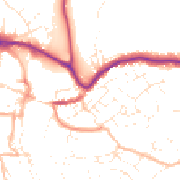
Daytime· 07:00 – 23:00
50.6dB

Night-time· 23:00 – 07:00
41.1dB