Iduno, Blackberry Lane, Charing, Ashford, TN27 0AE
About Iduno
Iduno is a semi-detached house in Charing, Ashford, Ashford (TN27 0AE). It has a recorded floor area of 104 m² (around 1119 sq ft) and construction records dating it to 1930-1949. The latest certificate (August 2023) shows a D (score 64), on the cusp of jumping into the C band. The recommended improvements would lift it to B (score 83), a 2-band jump.
One planning record on file: partial demolition refused in 2024.
Everything you need to know about Iduno
The true value, the hidden risks and the full sale history, in one report.
30-day money-back guarantee

The data behind every report


Energy performance
Recommended upgrades on file would lift this property by multiple EPC bands.
EPC Rating
Planning history
A partial demolition application was refused at Iduno in 2024.
- Jan 2024DemolitionFullIn report
Proposed 2no. semi-detached dwellings with associated parking and access following demolition of existing bungalow, garage and sheds.
- Documents
- 21 docs on file
- Reference
- PA/2023/0837
We flagged 1 thing worth checking at Iduno
Independent checks surfaced things a buyer would want to understand before offering. The report explains each one in full, with the underlying data and what to ask.
- A planning decision worth checking
30-day money-back guarantee
Sales history & valuation
Iduno has no Land Registry sales on file, suggesting it has stayed in the same hands since registration began.
£398,000
Modelled from EPC, postcode comparables.
No sales recorded with HM Land Registry
That can mean the property has never traded since the registry began publishing in 1995, was a new build that hasn't been registered yet, or is held in the same hands long-term.
Everything you need to know about Iduno
The true value, the hidden risks and the full sale history, in one report.
30-day money-back guarantee
The data behind every report
Similar properties nearby
1 Brenchley Mews, Charing
TN27 0JQ
1 Dering Terrace, Station Road, Pluckley
TN27 0RP
1 Bankwood, Warren Street Road, Charing
TN27 0HL
1 Harrison Farm, Ashford Road, Charing
TN27 0DX
1 Haffenden Meadow, Charing
TN27 0JR
1 Cherry Tree Road, Charing Heath
TN27 0BB
1 Bowl Cottages, Bowl Road, Charing
TN27 0HB
1 Chambers Green Cottage, Chambers Green Road, Pluckley
TN27 0RJ
The neighbourhood at a glance
Rail-style transport is unusually close for this postcode.
Crime
2/mo
Steady year-on-year across the wider district.
Nearest stop
0.1 km
Charing (Kent) Rail Station — railway station.
Closest school
0.5 km
Charing Church of England Primary School. 1 school nearby.
Go deeper on the local area
The full report breaks down crime, transport links, schools and air quality in depth.
Road noise across the postcode
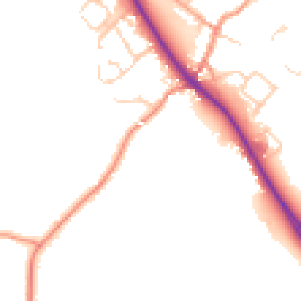
Daytime· 07:00 – 23:00
49.9dB

Night-time· 23:00 – 07:00
41.5dB