Are you a property professional?Get qualified leads from motivated homeowners.
Get started43 Stafford Street, Market Drayton, TF9 1HX
5 sales on record
About 43 Stafford Street
A plain-English summary derived from public records, EPC certificates, sold prices and local data.
43 Stafford Street is a three-bedroom semi-detached house in Market Drayton (TF9 1HX). It has a recorded floor area of 117 m² (around 1259 sq ft), construction records dating it to 1900-1929 and council tax band D. The latest certificate (February 2014) shows an F (score 37), near the bottom of the EPC scale. The recommended improvements would lift it to B (score 83), a 4-band jump. The latest certificate is from February 2014, so improvements made since then won't be reflected. Period features are noted in the property record.
Sale prices here have outpaced England HPI: 5.3% per year against 0% for the wider region. Today's modelled estimate of £291,000 is 16.4% above the 2021 sale price. On a £-per-square-foot basis, the last sale (£199/sq ft) was about 22.4% above the typical sold price in the postcode. At 117 m² the property is well over the postcode median (66 m² across 18 EPCs), placing it in the larger end of the local stock. On energy efficiency it sits in the bottom 10% of properties in this postcode — significant headroom for improvement. Last sale on file: £250,000 in February 2021. That sale was during the post-pandemic price surge, when transactions cleared materially above pre-2020 trend.
What this property has
Pulled from EPC certificates, claim submissions and our property model. Empty categories are hidden — we only show what's known.
Inside
- Bedrooms3
- Bathrooms1
- Dining roomYes
Outside
- Private garden
Energy performance
Every EPC certificate filed against this property — current rating, recorded improvements, and where there's headroom to reach a higher band.
43 Stafford Street sits at the bottom of the postcode for energy efficiency — meaningful headroom to improve.
EPC Expired
This certificate is over 10 years old and is no longer valid.Expired 04 Feb 2024
Sales history & valuation
Recorded transactions, our model's current estimate, and a quick read on what neighbouring properties have sold for.
Latest sale on 43 Stafford Street was the highest on Land Registry record across the postcode.
Current estimate
See how we calculated this£291,000
Modelled from EPC, postcode comparables and a sale-price growth of 5.3% per year over 26 years.
Last sold (2021)
£250,000
Growth on file: 5.3% per year over 26 years.
Sales timeline
Versus other Stafford Street homes
Four headline reads against 8 similar houses on this street, drawn from the latest EPC and Land Registry data.
Years Held for 43 Stafford Street lags the street by a wide margin.
Price per m²
£2,137
Street avg £1,825
Floor Area
117 m²
Street avg 86 m²
Habitable Rooms
6 rooms
Similar properties nearby
A handful of close matches in the same postcode area, ranked by likeness on bedrooms, type and floor area.
The neighbourhood at a glance
A condensed read of the local area. Each tile links through to the full breakdown on the Market Drayton district page.
Daytime road noise here sits well below conversation level — a quiet pocket of the postcode.
Crime
3/mo
Steady year-on-year across the wider district.
Nearest stop
1.9 km
Road noise across the postcode
Modelled day and night-time noise levels around TF9 1HX from Defra's strategic mapping. The pin marks this postcode's centroid.
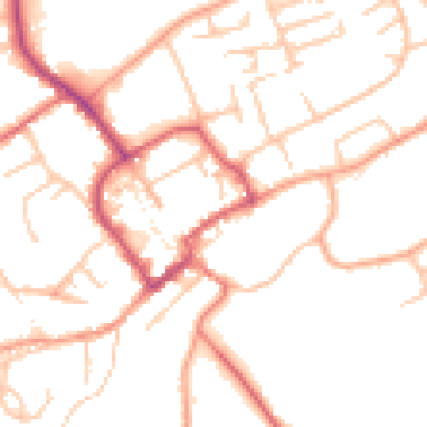
Daytime· 07:00 – 23:00
49.8dB

Everything within walking distance
Schools, transport stops and scenic spots near this property — 7 points of interest in total.
Beautiful places to visit nearby
Curated scenic spots within reach of this postcode, served by Beautifulplaces.ai. Photography and tagging come from their open dataset.
Common questions
The questions buyers, sellers and homeowners most often ask about 43 Stafford Street, Market Drayton, TF9 1HX. Each answer is also embedded as structured data for search engines.