1 Sorrel Close, Donnington Wood, Telford, TF2 7RQ
About 1 Sorrel Close
1 Sorrel Close is a property in Donnington Wood, Telford, Telford (TF2 7RQ). It has council tax band C.
Untraded for 24 years, with the last transfer in October 2002.
Know exactly what you're buying at 1 Sorrel Close
Before you offer, see what the listing won't tell you, the true value, the red flags and the full history.
Valuation
against the asking price
Risks
planning & flood
Sold prices
similar homes nearby
Trends
the local market
Energy performance
No EPC on record
This property doesn't have an Energy Performance Certificate yet. An EPC is required to sell or let — and unlocks our automated valuation.
Planning history
1 Sorrel Close has no planning applications on record.
Notable planning nearby
2applications of note in the surrounding area
Sales history & valuation
£74,000
Recorded with HM Land Registry.
Sales timeline
3 October 2002Most recent
£74,000
Median price across the last 5 sales in TF2 7RQ: £185,000 (2025–2012).
Nearby sales in TF2 7RQ
Everything we know about 1 Sorrel Close, in one report
What it's really worth, what could be wrong, and the planning, sales and area data in full.
- Am I paying too much?
- Is something wrong with it?
- Is the agent's story true?
- Will it hold its value?

Similar properties nearby
1 Biddulph Park Place, Church Road, Wrockwardine Wood
TF2 7BD
1 Brooklyn, Furnace Lane, Trench
TF2 7JD
1 Colridge Court, Donnington
TF2 7SA
1 Cappoquin Drive, Wrockwardine Wood
TF2 7BX
1 Blythe Gardens
TF2 7NH
1 Corve Walk, Donnington
TF2 7QQ
1 Bishops Walk, Donnington Wood
TF2 7HP
1 Campion Drive, Donnington Wood
TF2 7RH
The neighbourhood at a glance
Crime
7/mo
Steady year-on-year across the wider district.
Nearest stop
0.4 km
Wallett Drive — bus stop.
Closest school
0.5 km
St Matthew's Church of England Aided Primary School and Nursery Centre. 12 schools nearby.
Go deeper on the local area
The full report breaks down crime, transport links, schools and air quality in depth.
Road noise across the postcode
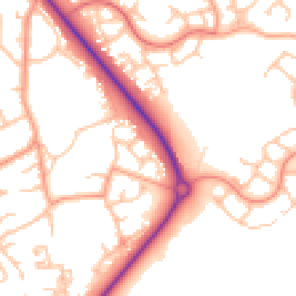
Daytime· 07:00 – 23:00
53.0dB

Night-time· 23:00 – 07:00
43.1dB