28 Tranter Avenue, Donnington Wood, Telford, TF2 7FH
About 28 Tranter Avenue
28 Tranter Avenue is a detached house in Donnington Wood, Telford, Telford (TF2 7FH). It has a recorded floor area of 77 m² (around 829 sq ft) and construction records dating it to 2023. The latest certificate (October 2023) returns an A (score 94), the top energy band on the EPC scale.
Know exactly what you're buying at 28 Tranter Avenue
Before you offer, see what the listing won't tell you, the true value, the red flags and the full history.
Valuation
against the asking price
Risks
planning & flood
Sold prices
similar homes nearby
Trends
the local market
Energy performance
28 Tranter Avenue's carbon output is low for the local stock.
EPC Rating
Planning history
28 Tranter Avenue has no planning applications on record.
Notable planning nearby
2applications of note in the surrounding area
Sales history & valuation
28 Tranter Avenue has no Land Registry sales on file, suggesting it has stayed in the same hands since registration began.
£238,000
Modelled from EPC, postcode comparables.
No sales recorded with HM Land Registry
That can mean the property has never traded since the registry began publishing in 1995, was a new build that hasn't been registered yet, or is held in the same hands long-term.
Everything we know about 28 Tranter Avenue, in one report
What it's really worth, what could be wrong, and the planning, sales and area data in full.
- Am I paying too much?
- Is something wrong with it?
- Is the agent's story true?
- Will it hold its value?

Versus other Tranter Avenue homes
28 Tranter Avenue is notably below the street on co₂ emissions.
EPC Rating
94 (A)
Street avg 96 (A)
Floor Area
77 m²
Street avg 77 m²
CO₂ Emissions
0.4 t/year
Street avg 0.2 t/year
Similar properties nearby
1 Brooklyn, Furnace Lane, Trench
TF2 7JD
1 Cappoquin Drive, Wrockwardine Wood
TF2 7BX
1 Biddulph Park Place, Church Road, Wrockwardine Wood
TF2 7BD
1 Blythe Gardens
TF2 7NH
1 Corve Walk, Donnington
TF2 7QQ
1 Bishops Walk, Donnington Wood
TF2 7HP
1 Campion Drive, Donnington Wood
TF2 7RH
1 Ash Lea Drive, Donnington
TF2 7NS
The neighbourhood at a glance
Daytime road noise here sits well below conversation level — a quiet pocket of the postcode.
Crime
7/mo
Steady year-on-year across the wider district.
Nearest stop
0.3 km
Tranter Avenue — bus stop.
Closest school
0.6 km
St Matthew's Church of England Aided Primary School and Nursery Centre. 15 schools nearby.
Go deeper on the local area
The full report breaks down crime, transport links, schools and air quality in depth.
Road noise across the postcode
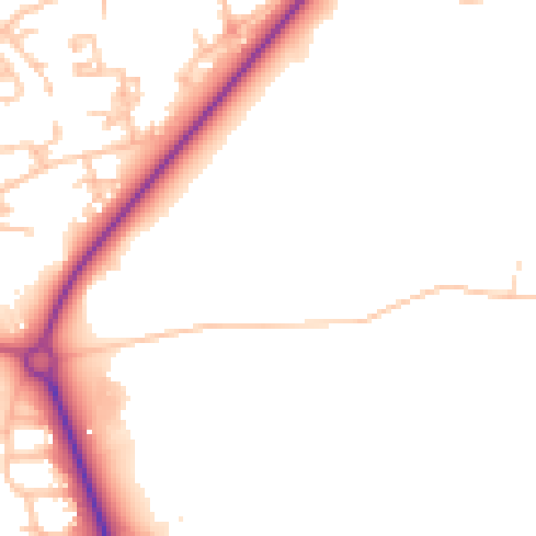
Daytime· 07:00 – 23:00
48.9dB

Night-time· 23:00 – 07:00
41.3dB