27 Fourth Avenue, Ketley Bank, Telford, TF2 0AS
About 27 Fourth Avenue
27 Fourth Avenue is a property in Ketley Bank, Telford, Telford (TF2 0AS). It has council tax band A.
Held since August 2002 — that's 24 years off the open market, well above the local norm. Across 1995–2002, sale prices on this property compounded at 11.6% per year.
Everything you need to know about 27 Fourth Avenue
The true value, the hidden risks and the full sale history, in one report.
Pick your report · from £14.99
One time fee only - money back guarantee

The data behind every report





Energy performance
No EPC on record
This property doesn't have an Energy Performance Certificate yet. An EPC is required to sell or let — and unlocks our automated valuation.

Get a survey for this property
Level 2 HomeBuyer Report
We've checked 10 risk factors against the available data for this property and believe a Level 2 HomeBuyer Report could be a suitable option for you.
Planning history
27 Fourth Avenue has no planning applications on record.
A planning report still maps activity across the surrounding area and reads this property's extension & conversion potential.
Sales history & valuation
27 Fourth Avenue has more than doubled in price since the earliest registered sale in 1995.
£49,500
Growth on file: 11.6% per year over 7 years.
Sales timeline
15 August 2002Most recent
£49,500
+73.7%over 10 months1 October 2001
£28,500
+26.7%over 6 years30 May 1995
£22,500
Median price across the last 5 sales in TF2 0AS: £128,000 (2025–2023).
Nearby sales in TF2 0AS
22 Fourth Avenue, Ketley Bank, Telford, TF2 0AS
Sold Jan 2025
£170,00037 Fourth Avenue, Ketley Bank, Telford, TF2 0AS
Sold Oct 2024
£128,00016 Fourth Avenue, Ketley Bank, Telford, TF2 0AS
Sold Apr 2024
£145,95020 Fourth Avenue, Ketley Bank, Telford, TF2 0AS
Sold Jun 2022
£137,00025 Fourth Avenue, Ketley Bank, Telford, TF2 0AS
Sold Feb 2022
£130,000
Everything you need to know about 27 Fourth Avenue
The true value, the hidden risks and the full sale history, in one report.
Pick your report · from £14.99
One time fee only - money back guarantee
The data behind every report
Similar properties nearby
1 First Avenue, Ketley Bank
TF2 0AH
1 Queenswood Close, Ketley Bank
TF2 0BB
1 Sadlers Fold
TF2 0EZ
1 Hill Top Apartments, Dukes Hill, Ketley Bank
TF2 0DB
1 Frizes Leasowe, Ketley Bank
TF2 0EY
1 Second Avenue, Ketley Bank
TF2 0AL
1 Greyhound Hill, Ketley Bank
TF2 0BW
1 Houghton Court, First Avenue, Ketley Bank
TF2 0AG
The neighbourhood at a glance
Rail-style transport is unusually close for this postcode.
Crime
271/mo
Falling year-on-year across the wider district.
Nearest stop
0.1 km
Third Avenue — bus stop.
Closest school
0.2 km
Lantern Academy. 23 schools nearby.
Go deeper on the local area
A Local Area report breaks down crime, transport links, schools and air quality in depth.
Road noise across the postcode
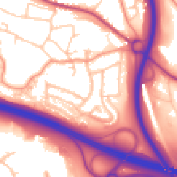
Daytime· 07:00 – 23:00
59.3dB

Night-time· 23:00 – 07:00
50.9dB