2 The Paddocks, Shepherds Lane, Red Lake, Telford, TF1 5JZ
About 2 The Paddocks
2 The Paddocks is a four-bedroom detached house in Red Lake, Telford, Telford (TF1 5JZ). It has a recorded floor area of 125 m² (around 1345 sq ft), construction records dating it to 1996-2002 and council tax band D. The latest certificate (May 2025) shows a C (score 74). The recommended improvements would push it to B (score 83).
Held since December 2003 — that's 22 years off the open market, well above the local norm. Across 2000–2003, sale prices on this property compounded at 13.1% per year. Today's modelled estimate of £353,000 sits 113.3% above the 2003 sale of £165,500.
Know exactly what you're buying at 2 The Paddocks
Before you offer, see what the listing won't tell you, the true value, the red flags and the full history.
Valuation
against the asking price
Risks
planning & flood
Sold prices
similar homes nearby
Trends
the local market
What this property has
Inside
- Bedrooms4
- Bathrooms2
- Dining roomYes
Outside
- Private gardenSouth-facing
Energy performance
EPC Rating
Planning history
2 The Paddocks has no planning applications on record.
The full report still covers planning activity across the surrounding area.
Sales history & valuation
2 The Paddocks's estimated value is more than triple its earliest registered sale price (2000).
£353,000
Modelled from EPC, postcode comparables and a sale-price growth of 13.1% per year over 3 years.
£165,500
Growth on file: 13.1% per year over 3 years.
Sales timeline
18 December 2003Most recent
£165,500
+50.5%over 3 years23 August 2000
£109,950
Median price across the last 5 sales in TF1 5JZ: £95,000 (2004–1999).
Nearby sales in TF1 5JZ
1 The Paddocks, Shepherds Lane, Red Lake, Telford, TF1 5JZ
Sold Jul 2004
£175,0005 The Paddocks, Shepherds Lane, Red Lake, Telford, TF1 5JZ
Sold Nov 2002
£106,0003 The Paddocks, Shepherds Lane, Red Lake, Telford, TF1 5JZ
Sold Sept 2000
£95,0004 The Paddocks, Shepherds Lane, Red Lake, Telford, TF1 5JZ
Sold Dec 1999
£67,500
Everything we know about 2 The Paddocks, in one report
What it's really worth, what could be wrong, and the planning, sales and area data in full.
- Am I paying too much?
- Is something wrong with it?
- Is the agent's story true?
- Will it hold its value?

Similar properties nearby
1 Bluebell Coppice, Ketley
TF1 5NE
1 Candleberry Meadow, Ketley
TF1 5TD
1 Buxus Road, Hadley
TF1 5TN
1 Castle View, Red Lake
TF1 5EN
1 Caldera Road, Hadley
TF1 5LT
1 Bakers Lock, Hadley
TF1 5TE
1 Bricklin Mews, Hadley
TF1 5LU
1 Beddall Way, Ketley
TF1 5FN
The neighbourhood at a glance
Crime
5/mo
Steady year-on-year across the wider district.
Nearest stop
0.2 km
Quarry Lane — bus stop.
Closest school
0.5 km
Meadows Primary School and Nursery. 19 schools nearby.
Go deeper on the local area
The full report breaks down crime, transport links, schools and air quality in depth.
Road noise across the postcode
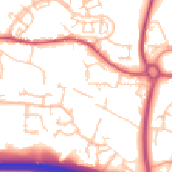
Daytime· 07:00 – 23:00
54.0dB
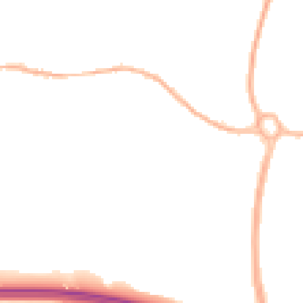
Night-time· 23:00 – 07:00
43.9dB